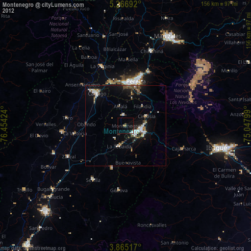
Montenegro night lights from space
Night Light of Montenegro (Quindío) from space (Colombia) Src. Average luminocity for 10x10km area is 15.4669% and for 50x50km: 9.18%.
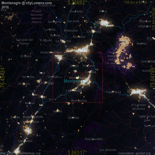
Analysis of Montenegro night lights 2016
Square area 10x10 km:
 1.65%
1.65%90-99
2.48%80-89
1.65%70-79
2.69%60-69
0.62%50-59
0%40-49
0.41%30-39
2.48%20-29
3.93%10-19
21.49%0-9
62.6%Square area 50x50 km:
1.17%90-99
1.22%80-89
0.46%70-79
0.87%60-69
1.19%50-59
1.49%40-49
1.61%30-39
1.77%20-29
2.37%10-19
8.86%0-9
78.99%Clear (daylight) street map image can be seen on geolist.org.
Map coordinates:
5° 16' 0.9" North, 76° 27' 15.3" West
4° 33' 59" North, 75° 45' 4" West
3° 51' 54.6" North, 75° 2' 52.8" West
Some cities around Montenegro sort by population:
• Armenia
8.6 km =5.3 mi,  114°
114°
• Calarcá
12.9 km =8 mi, 108°
• Quimbaya
6.4 km =4 mi,  348°
348°
• La Tebaida
13.3 km =8.3 mi,  197°
197°
• Circasia
14 km =8.7 mi,  65°
65°
• Alcalá
12.5 km =7.8 mi,  343°
343°
• Obando
24.7 km =15.3 mi,  272°
272°
• Filandia
15.8 km =9.8 mi,  40°
40°
3674463 (p: 36,499)
Sources (retrieved 2019-11-25):
» Earth at Night: Flat Maps 2012, 2016