Cartago night lights from space
Night Light of Cartago (Valle del Cauca) from space (Colombia) Src. Average luminocity for 10x10km area is 34.6384% and for 50x50km: 9.0202%.
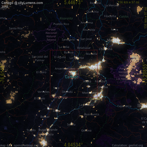
Analysis of Cartago night lights 2016
Square area 10x10 km:
 8.06%
8.06%90-99
6.82%80-89
0%70-79
3.93%60-69
5.99%50-59
6.4%40-49
0.41%30-39
3.31%20-29
4.13%10-19
49.17%0-9
11.78%Square area 50x50 km:
1.41%90-99
1.44%80-89
0.54%70-79
0.89%60-69
1.26%50-59
1.08%40-49
1.31%30-39
1.79%20-29
2.31%10-19
7%0-9
80.96%Clear (daylight) street map image can be seen on geolist.org.
Map coordinates:
5° 26' 48.2" North, 76° 36' 53.3" West
4° 44' 47" North, 75° 54' 42" West
4° 2' 43.2" North, 75° 12' 30.8" West
Some cities around Cartago sort by population:
• Pereira
25 km =15.5 mi,  72°
72°
• Montenegro
26.8 km =16.7 mi,  138°
138°
• La Virginia
17.4 km =10.8 mi,  10°
10°
• Quimbaya
21.5 km =13.4 mi,  129°
129°
• Toro
24 km =14.9 mi,  231°
231°
• Ansermanuevo
10.8 km =6.7 mi,  301°
301°
• Alcalá
16.4 km =10.2 mi,  119°
119°
• Obando
20.2 km =12.6 mi,  199°
199°
3687230 (p: 134,827)
Sources (retrieved 2019-11-25):
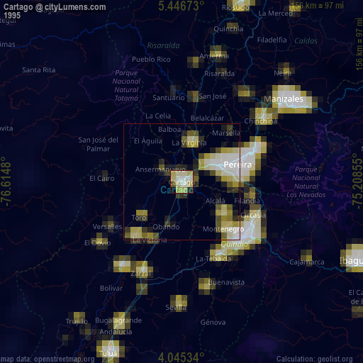
» NASA, Earths city lights 1995
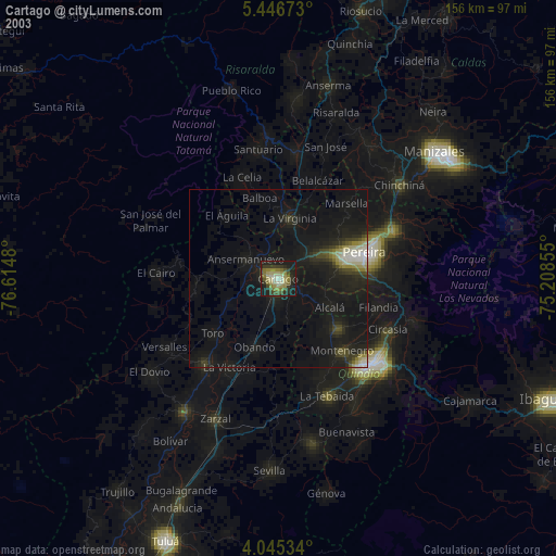
» NASA city lights 2003
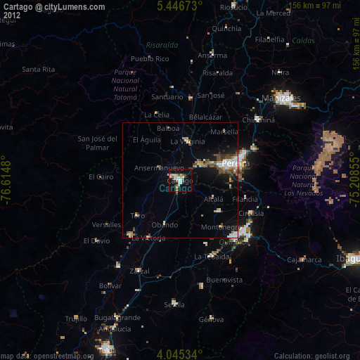
» Earth at Night: Flat Maps 2012, 2016