Pizarro night lights from space
Night Light of Pizarro (Chocó) from space (Colombia) Src. Average luminocity for 10x10km area is 0% and for 50x50km: 0.0466%.
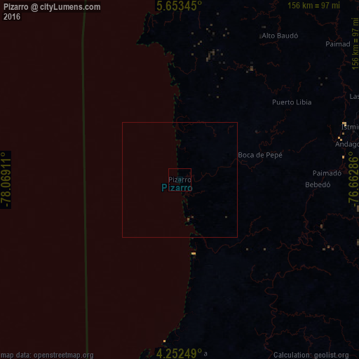
Analysis of Pizarro night lights 2016
Square area 10x10 km:
 0%
0%90-99
0%80-89
0%70-79
0%60-69
0%50-59
0%40-49
0%30-39
0%20-29
0%10-19
0%0-9
100%Square area 50x50 km:
0%90-99
0%80-89
0%70-79
0%60-69
0%50-59
0%40-49
0.03%30-39
0.03%20-29
0.07%10-19
0.01%0-9
99.86%Clear (daylight) street map image can be seen on geolist.org.
Map coordinates:
5° 39' 12.4" North, 78° 4' 8.8" West
4° 57' 12" North, 77° 21' 57.5" West
4° 15' 9" North, 76° 39' 46.3" West
Some cities around Pizarro sort by population:
• Buenaventura
125 km =77.7 mi,  162°
162°
• Quibdó
113.5 km =70.5 mi,  43°
43°
• Roldanillo
147.1 km =91.4 mi,  114°
114°
• Istmina
79 km =49.1 mi,  73°
73°
• Tadó
95.3 km =59.2 mi, 68°
• Condoto
80.9 km =50.3 mi,  78°
78°
• El Dovio
134.6 km =83.6 mi, 111°
• Trujillo
142.3 km =88.4 mi,  125°
125°
3672086 (p: 6,168)
Sources (retrieved 2019-11-25):
» Earth at Night: Flat Maps 2012, 2016