Istmina night lights from space
Night Light of Istmina (Chocó) from space (Colombia) Src. Average luminocity for 10x10km area is 2.9132% and for 50x50km: 0.4685%.
Analysis of Istmina night lights 2016
Square area 10x10 km:
 0%
0%90-99
0%80-89
1.45%70-79
1.03%60-69
0%50-59
0.83%40-49
0%30-39
0%20-29
0%10-19
0.83%0-9
95.87%Square area 50x50 km:
0%90-99
0%80-89
0.06%70-79
0.18%60-69
0.03%50-59
0.03%40-49
0.1%30-39
0.12%20-29
0.21%10-19
0.25%0-9
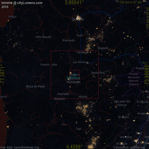
99.01%Clear (daylight) street map image can be seen on geolist.org.
Map coordinates:
5° 51' 37.5" North, 77° 23' 13.6" West
5° 9' 37.9" North, 76° 41' 2.3" West
4° 27' 35.6" North, 75° 58' 51.1" West
Some cities around Istmina sort by population:
• Quibdó
59.1 km =36.7 mi,  2°
2°
• Ansermanuevo
86.3 km =53.6 mi,  117°
117°
• Tadó
17.6 km =10.9 mi,  48°
48°
• Condoto
8.4 km =5.2 mi,  153°
153°
• El Dovio
87.9 km =54.6 mi, 145°
• Apía
82.3 km =51.1 mi,  94°
94°
• Santuario
80.3 km =49.9 mi,  96°
96°
• Pizarro
79 km =49.1 mi,  253°
253°
3680453 (p: 13,788)
Sources (retrieved 2019-11-25):
» Earth at Night: Flat Maps 2012, 2016