Tadó night lights from space
Night Light of Tadó (Chocó) from space (Colombia) Src. Average luminocity for 10x10km area is 0.6384% and for 50x50km: 1.7923%.
Analysis of Tadó night lights 2016
Square area 10x10 km:
 0%
0%90-99
0%80-89
0%70-79
0%60-69
0.83%50-59
0%40-49
0%30-39
0%20-29
0%10-19
0%0-9
99.17%Square area 50x50 km:
0%90-99
0%80-89
0.06%70-79
0.22%60-69
0.08%50-59
0.03%40-49
0.73%30-39
1.64%20-29
0.77%10-19
0.93%0-9
95.54%Clear (daylight) street map image can be seen on geolist.org.
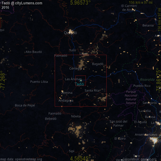
Map coordinates:
5° 57' 56.6" North, 77° 16' 4.8" West
5° 15' 57.5" North, 76° 33' 53.5" West
4° 33' 55.6" North, 75° 51' 42.3" West
Some cities around Tadó sort by population:
• Quibdó
48.5 km =30.1 mi,  347°
347°
• Belén de Umbría
77.4 km =48.1 mi,  95°
95°
• Viterbo
80 km =49.7 mi,  106°
106°
• Istmina
17.6 km =10.9 mi,  228°
228°
• Condoto
21.4 km =13.3 mi,  206°
206°
• Apía
71.2 km =44.2 mi, 104°
• Santuario
69.8 km =43.4 mi, 107°
• Mistrató
75.5 km =46.9 mi,  87°
87°
3667579 (p: 10,095)
Sources (retrieved 2019-11-25):
» Earth at Night: Flat Maps 2012, 2016