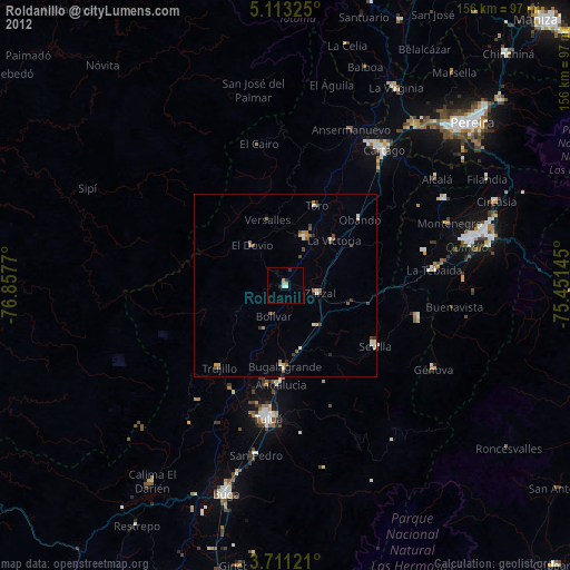
Roldanillo night lights from space
Night Light of Roldanillo (Valle del Cauca) from space (Colombia) Src. Average luminocity for 10x10km area is 8.0062% and for 50x50km: 2.6507%.
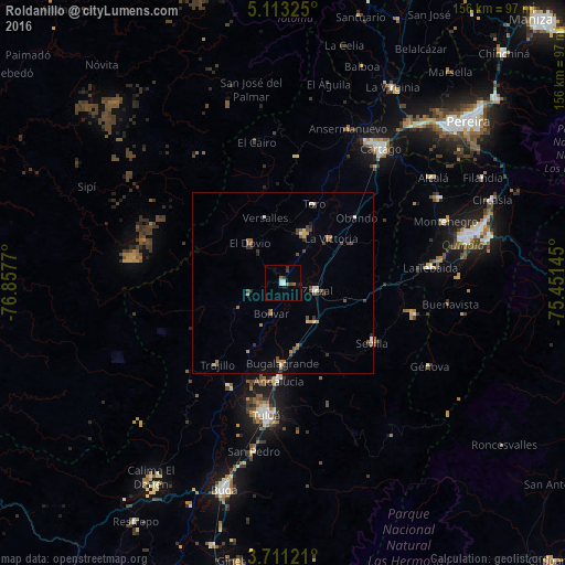
Analysis of Roldanillo night lights 2016
Square area 10x10 km:
 1.45%
1.45%90-99
1.86%80-89
0%70-79
0%60-69
0.62%50-59
1.86%40-49
1.24%30-39
1.86%20-29
0.62%10-19
1.03%0-9
89.46%Square area 50x50 km:
0.2%90-99
0.33%80-89
0.16%70-79
0.31%60-69
0.46%50-59
0.41%40-49
0.64%30-39
0.65%20-29
0.42%10-19
0.35%0-9
96.06%Clear (daylight) street map image can be seen on geolist.org.
Map coordinates:
5° 6' 47.7" North, 76° 51' 27.7" West
4° 24' 45.2" North, 76° 9' 16.5" West
3° 42' 40.4" North, 75° 27' 5.2" West
Some cities around Roldanillo sort by population:
• Zarzal
9.4 km =5.8 mi,  102°
102°
• La Unión
14.5 km =9 mi,  23°
23°
• Andalucía
26.9 km =16.7 mi,  182°
182°
• Toro
23.6 km =14.7 mi, 20°
• Bugalagrande
22.3 km =13.9 mi, 180°
• La Victoria
17.9 km =11.1 mi,  45°
45°
• El Dovio
13.9 km =8.6 mi,  319°
319°
• Obando
27 km =16.8 mi, 47°
3670644 (p: 27,561)
Sources (retrieved 2019-11-25):
» Earth at Night: Flat Maps 2012, 2016