El Dovio night lights from space
Night Light of El Dovio (Valle del Cauca) from space (Colombia) Src. Average luminocity for 10x10km area is 3.3657% and for 50x50km: 2.0543%.
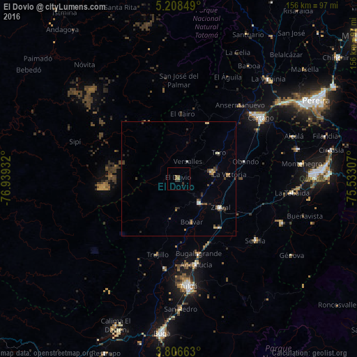
Analysis of El Dovio night lights 2016
Square area 10x10 km:
 0%
0%90-99
0%80-89
0%70-79
0%60-69
2.89%50-59
0.41%40-49
0%30-39
2.48%20-29
0.41%10-19
0.41%0-9
93.39%Square area 50x50 km:
0.14%90-99
0.25%80-89
0.2%70-79
0.22%60-69
0.33%50-59
0.27%40-49
0.56%30-39
0.55%20-29
0.36%10-19
0.19%0-9
96.95%Clear (daylight) street map image can be seen on geolist.org.
Map coordinates:
5° 12' 30.6" North, 76° 56' 21.6" West
4° 30' 28.4" North, 76° 14' 10.3" West
3° 48' 23.9" North, 75° 31' 59.1" West
Some cities around El Dovio sort by population:
• Zarzal
22.2 km =13.8 mi,  124°
124°
• Roldanillo
13.9 km =8.6 mi,  139°
139°
• La Unión
15 km =9.3 mi,  79°
79°
• Toro
20.7 km =12.9 mi,  56°
56°
• Bugalagrande
34.1 km =21.2 mi,  164°
164°
• La Victoria
21.9 km =13.6 mi,  85°
85°
• Obando
30 km =18.6 mi, 75°
• Trujillo
34.2 km =21.3 mi,  195°
195°
3684266 (p: 7,942)
Sources (retrieved 2019-11-25):
» Earth at Night: Flat Maps 2012, 2016