Salamina night lights from space
Night Light of Salamina (Magdalena) from space (Colombia) Src. Average luminocity for 10x10km area is 4.3388% and for 50x50km: 2.6711%.
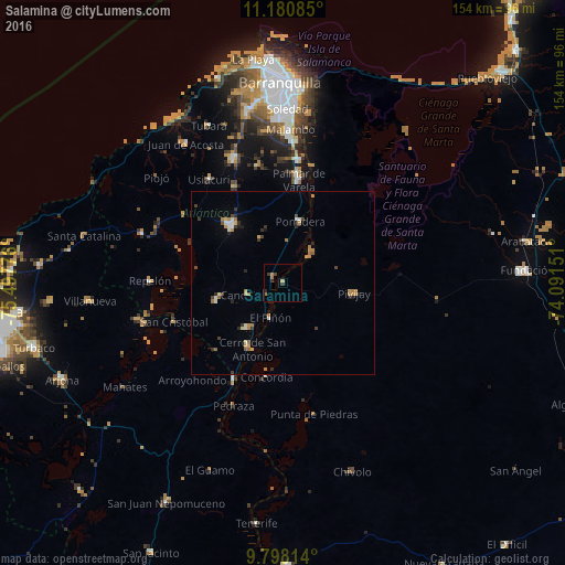
Analysis of Salamina night lights 2016
Square area 10x10 km:
 0%
0%90-99
0%80-89
0.83%70-79
0%60-69
2.48%50-59
0%40-49
0.83%30-39
2.07%20-29
1.24%10-19
0%0-9
92.56%Square area 50x50 km:
0.14%90-99
0.34%80-89
0.19%70-79
0.52%60-69
0.72%50-59
0.19%40-49
0.29%30-39
0.51%20-29
0.51%10-19
0.29%0-9
96.29%Clear (daylight) street map image can be seen on geolist.org.
Map coordinates:
11° 10' 51.1" North, 75° 29' 51.9" West
10° 29' 25" North, 74° 47' 40.7" West
9° 47' 53.3" North, 74° 5' 29.4" West
Some cities around Salamina sort by population:
• Pivijay
19.8 km =12.3 mi,  99°
99°
• Campo de la Cruz
15.8 km =9.8 mi,  217°
217°
• Manatí
18.6 km =11.6 mi,  254°
254°
• Candelaria
9.9 km =6.2 mi, 249°
• Ponedera
17.6 km =10.9 mi,  14°
14°
• Suan
19.8 km =12.3 mi,  208°
208°
• El Piñón
10.2 km =6.3 mi,  198°
198°
• Cerro de San Antonio
20 km =12.4 mi, 204°
3670368 (p: 6,166)
Sources (retrieved 2019-11-25):
» Earth at Night: Flat Maps 2012, 2016