Campo de la Cruz night lights from space
Night Light of Campo de la Cruz (Atlántico) from space (Colombia) Src. Average luminocity for 10x10km area is 8.8223% and for 50x50km: 2.1371%.
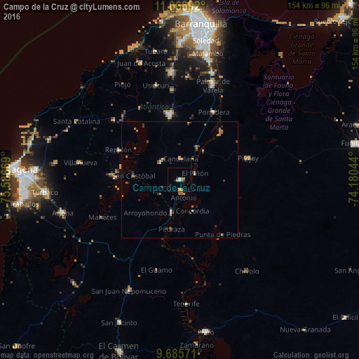
Analysis of Campo de la Cruz night lights 2016
Square area 10x10 km:
 0%
0%90-99
1.65%80-89
1.65%70-79
1.65%60-69
2.07%50-59
0.41%40-49
0%30-39
1.65%20-29
0.83%10-19
0%0-9
90.08%Square area 50x50 km:
0.02%90-99
0.26%80-89
0.13%70-79
0.45%60-69
0.66%50-59
0.2%40-49
0.21%30-39
0.63%20-29
0.37%10-19
0.11%0-9
96.96%Clear (daylight) street map image can be seen on geolist.org.
Map coordinates:
11° 4' 8.1" North, 75° 35' 12.1" West
10° 22' 41.1" North, 74° 53' 0.8" West
9° 41' 8.6" North, 74° 10' 49.6" West
Some cities around Campo de la Cruz sort by population:
• Santa Lucía
10.3 km =6.4 mi,  234°
234°
• Manatí
11.2 km =7 mi,  312°
312°
• Candelaria
9 km =5.6 mi,  2°
2°
• Suan
5 km =3.1 mi,  175°
175°
• Calamar
14.4 km =8.9 mi,  194°
194°
• El Piñón
7.1 km =4.4 mi,  67°
67°
• Cerro de San Antonio
6 km =3.7 mi,  164°
164°
• Salamina
15.8 km =9.8 mi,  37°
37°
3687758 (p: 22,803)
Sources (retrieved 2019-11-25):
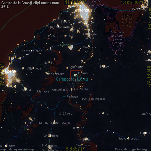
» Earth at Night: Flat Maps 2012, 2016