Santuario night lights from space
Night Light of Santuario (Risaralda) from space (Colombia) Src. Average luminocity for 10x10km area is 2.4959% and for 50x50km: 1.1053%.
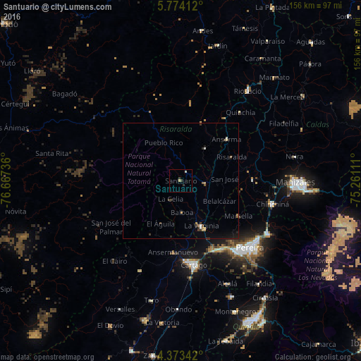
Analysis of Santuario night lights 2016
Square area 10x10 km:
 0%
0%90-99
0.62%80-89
0.83%70-79
0.21%60-69
0%50-59
0%40-49
0.41%30-39
2.07%20-29
0%10-19
0%0-9
95.87%Square area 50x50 km:
0.05%90-99
0.11%80-89
0.17%70-79
0.13%60-69
0.14%50-59
0.14%40-49
0.05%30-39
0.41%20-29
0.22%10-19
0.58%0-9
97.99%Clear (daylight) street map image can be seen on geolist.org.
Map coordinates:
5° 46' 26.8" North, 76° 40' 2.5" West
5° 4' 26.9" North, 75° 57' 51.2" West
4° 22' 24.3" North, 75° 15' 40" West
Some cities around Santuario sort by population:
• La Virginia
21.4 km =13.3 mi,  154°
154°
• Belén de Umbría
17.6 km =10.9 mi,  36°
36°
• Viterbo
10.3 km =6.4 mi,  97°
97°
• Marsella
29.3 km =18.2 mi,  121°
121°
• Apía
4.3 km =2.7 mi,  33°
33°
• Belalcázar
18.9 km =11.7 mi, 117°
• Mistrató
26.2 km =16.3 mi,  19°
19°
• Risaralda
24.2 km =15 mi,  64°
64°
3668324 (p: 6,815)
Sources (retrieved 2019-11-25):
» Earth at Night: Flat Maps 2012, 2016