Guamal night lights from space
Night Light of Guamal (Magdalena) from space (Colombia) Src. Average luminocity for 10x10km area is 2.1537% and for 50x50km: 0.5548%.
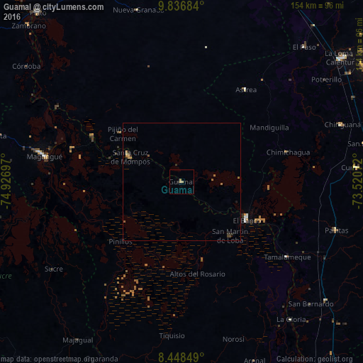
Analysis of Guamal night lights 2016
Square area 10x10 km:
 0%
0%90-99
0%80-89
0%70-79
1.08%60-69
1.52%50-59
0%40-49
0%30-39
0%20-29
0.87%10-19
0%0-9
96.54%Square area 50x50 km:
0%90-99
0%80-89
0.03%70-79
0.18%60-69
0.23%50-59
0.07%40-49
0.05%30-39
0.19%20-29
0.1%10-19
0.1%0-9
99.05%Clear (daylight) street map image can be seen on geolist.org.
Map coordinates:
9° 50' 12.6" North, 74° 55' 37.1" West
9° 8' 36" North, 74° 13' 25.8" West
8° 26' 54.6" North, 73° 31' 14.6" West
Some cities around Guamal sort by population:
• El Banco
31.5 km =19.6 mi,  120°
120°
• Mompós
24.8 km =15.4 mi,  296°
296°
• Santa Ana
42.7 km =26.5 mi, 297°
• San Zenón
32.3 km =20.1 mi,  289°
289°
• Pinillos
36.6 km =22.7 mi,  227°
227°
• Barranco de Loba
25.5 km =15.8 mi,  149°
149°
• Pijiño del Carmen
32.5 km =20.2 mi,  309°
309°
• Altos del Rosario
39.6 km =24.6 mi,  170°
170°
3681596 (p: 9,016)
Sources (retrieved 2019-11-25):
» Earth at Night: Flat Maps 2012, 2016