El Banco night lights from space
Night Light of El Banco (Magdalena) from space (Colombia) Src. Average luminocity for 10x10km area is 10.4827% and for 50x50km: 1.0236%.
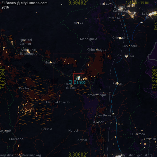
Analysis of El Banco night lights 2016
Square area 10x10 km:
 1.95%
1.95%90-99
2.38%80-89
0%70-79
2.81%60-69
0.65%50-59
0%40-49
0%30-39
1.73%20-29
2.38%10-19
0.22%0-9
87.88%Square area 50x50 km:
0.1%90-99
0.1%80-89
0%70-79
0.11%60-69
0.54%50-59
0.1%40-49
0.03%30-39
0.26%20-29
0.1%10-19
0.11%0-9
98.54%Clear (daylight) street map image can be seen on geolist.org.
Map coordinates:
9° 41' 41.7" North, 74° 40' 44.2" West
9° 0' 4.1" North, 73° 58' 32.9" West
8° 18' 21.7" North, 73° 16' 21.7" West
Some cities around El Banco sort by population:
• Chimichagua
33.7 km =20.9 mi,  32°
32°
• Pelaya
48.8 km =30.3 mi,  135°
135°
• Pailitas
38.8 km =24.1 mi,  97°
97°
• Guamal
31.5 km =19.6 mi,  300°
300°
• Río Viejo
48.4 km =30.1 mi,  161°
161°
• La Gloria
46.6 km =29 mi, 155°
• Barranco de Loba
15.6 km =9.7 mi,  246°
246°
• Altos del Rosario
31.3 km =19.4 mi,  221°
221°
3684917 (p: 54,522)
Sources (retrieved 2019-11-25):
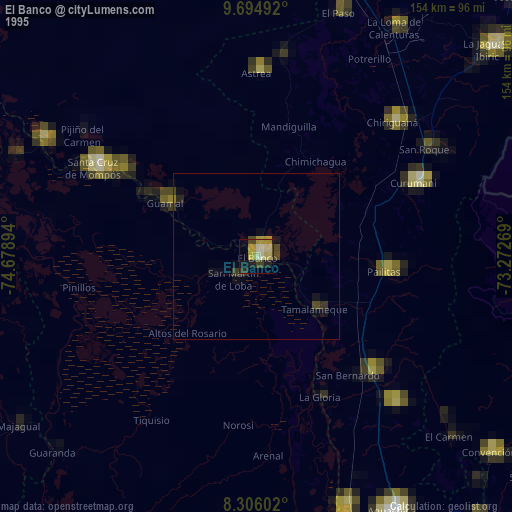
» NASA, Earths city lights 1995
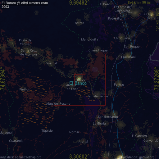
» NASA city lights 2003
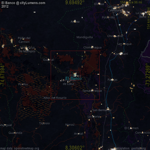
» Earth at Night: Flat Maps 2012, 2016