Pinillos night lights from space
Night Light of Pinillos (Bolívar) from space (Colombia) Src. Average luminocity for 10x10km area is 0% and for 50x50km: 0.8537%.
Analysis of Pinillos night lights 2016
Square area 10x10 km:
 0%
0%90-99
0%80-89
0%70-79
0%60-69
0%50-59
0%40-49
0%30-39
0%20-29
0%10-19
0%0-9
100%Square area 50x50 km:
0%90-99
0%80-89
0%70-79
0%60-69
0.66%50-59
0.49%40-49
0%30-39
0%20-29
0%10-19
0%0-9
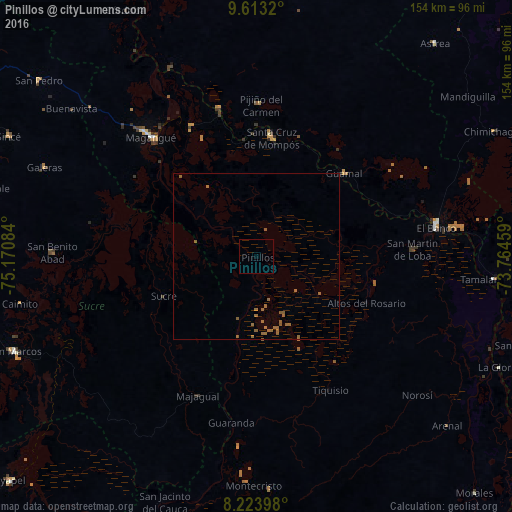
98.84%Clear (daylight) street map image can be seen on geolist.org.
Map coordinates:
9° 36' 47.5" North, 75° 10' 15" West
8° 55' 9.3" North, 74° 28' 3.8" West
8° 13' 26.3" North, 73° 45' 52.5" West
Some cities around Pinillos sort by population:
• Mompós
36.2 km =22.5 mi,  7°
7°
• Sucre
30.3 km =18.8 mi,  246°
246°
• Guamal
36.6 km =22.7 mi,  47°
47°
• Achí
40.1 km =24.9 mi,  194°
194°
• Cicuco
44.3 km =27.5 mi,  334°
334°
• San Zenón
36.1 km =22.4 mi,  354°
354°
• Barranco de Loba
39.8 km =24.7 mi,  85°
85°
• Altos del Rosario
36.1 km =22.4 mi,  113°
113°
3672197 (p: 6,218)
Sources (retrieved 2019-11-25):
» Earth at Night: Flat Maps 2012, 2016