Mompós night lights from space
Night Light of Mompós (Bolívar) from space (Colombia) Src. Average luminocity for 10x10km area is 6.1558% and for 50x50km: 0.738%.
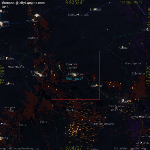
Analysis of Mompós night lights 2016
Square area 10x10 km:
 0%
0%90-99
0%80-89
0.87%70-79
3.46%60-69
0.87%50-59
0%40-49
0.43%30-39
1.52%20-29
1.52%10-19
1.73%0-9
89.61%Square area 50x50 km:
0%90-99
0%80-89
0.03%70-79
0.37%60-69
0.21%50-59
0.07%40-49
0.08%30-39
0.26%20-29
0.09%10-19
0.1%0-9
98.78%Clear (daylight) street map image can be seen on geolist.org.
Map coordinates:
9° 56' 6.9" North, 75° 7' 47.3" West
9° 14' 31" North, 74° 25' 36" West
8° 32' 50.2" North, 73° 43' 24.8" West
Some cities around Mompós sort by population:
• Magangué
36 km =22.4 mi,  270°
270°
• Santa Ana
17.9 km =11.1 mi,  299°
299°
• Guamal
24.8 km =15.4 mi,  116°
116°
• Cicuco
24.1 km =15 mi,  279°
279°
• San Zenón
8.1 km =5 mi, 270°
• Pinillos
36.2 km =22.5 mi,  187°
187°
• Talaigua Viejo
19.1 km =11.9 mi,  294°
294°
• Pijiño del Carmen
10.1 km =6.3 mi,  343°
343°
3674597 (p: 30,861)
Sources (retrieved 2019-11-25):
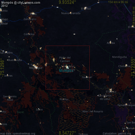
» Earth at Night: Flat Maps 2012, 2016