Barranco de Loba night lights from space
Night Light of Barranco de Loba (Bolívar) from space (Colombia) Src. Average luminocity for 10x10km area is 0.0152% and for 50x50km: 0.9924%.
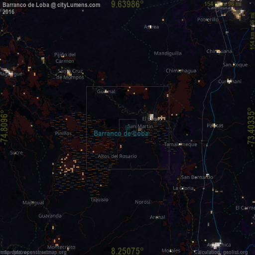
Analysis of Barranco de Loba night lights 2016
Square area 10x10 km:
 0%
0%90-99
0%80-89
0%70-79
0%60-69
0%50-59
0%40-49
0%30-39
0%20-29
0%10-19
0%0-9
100%Square area 50x50 km:
0.08%90-99
0.09%80-89
0%70-79
0.15%60-69
0.53%50-59
0.1%40-49
0.03%30-39
0.2%20-29
0.14%10-19
0.08%0-9
98.61%Clear (daylight) street map image can be seen on geolist.org.
Map coordinates:
9° 38' 23.5" North, 74° 48' 34.6" West
8° 56' 45.5" North, 74° 6' 23.3" West
8° 15' 2.7" North, 73° 24' 12.1" West
Some cities around Barranco de Loba sort by population:
• El Banco
15.6 km =9.7 mi,  66°
66°
• Mompós
48.2 km =30 mi,  313°
313°
• Chimichagua
47.4 km =29.5 mi,  42°
42°
• Guamal
25.5 km =15.8 mi,  329°
329°
• Río Viejo
49.5 km =30.8 mi,  143°
143°
• La Gloria
49.4 km =30.7 mi, 137°
• Pinillos
39.8 km =24.7 mi,  265°
265°
• Altos del Rosario
18.3 km =11.4 mi,  200°
200°
3689157 (p: 5,933)
Sources (retrieved 2019-11-25):
» Earth at Night: Flat Maps 2012, 2016