Altos del Rosario night lights from space
Night Light of Altos del Rosario (Bolívar) from space (Colombia) Src. Average luminocity for 10x10km area is 0.1281% and for 50x50km: 0.6583%.
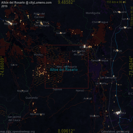
Analysis of Altos del Rosario night lights 2016
Square area 10x10 km:
 0%
0%90-99
0%80-89
0%70-79
0%60-69
0%50-59
0%40-49
0%30-39
0%20-29
0%10-19
0.83%0-9
99.17%Square area 50x50 km:
0.08%90-99
0.08%80-89
0%70-79
0.07%60-69
0.15%50-59
0.24%40-49
0.03%30-39
0.19%20-29
0.08%10-19
0.04%0-9
99.04%Clear (daylight) street map image can be seen on geolist.org.
Map coordinates:
9° 29' 9" North, 74° 52' 7.3" West
8° 47' 29.8" North, 74° 9' 56" West
8° 5' 46" North, 73° 27' 44.8" West
Some cities around Altos del Rosario sort by population:
• El Banco
31.3 km =19.4 mi,  41°
41°
• Guamal
39.6 km =24.6 mi,  350°
350°
• Achí
49.6 km =30.8 mi,  240°
240°
• Río Viejo
42.5 km =26.4 mi,  122°
122°
• La Gloria
44.3 km =27.5 mi, 115°
• Pinillos
36.1 km =22.4 mi,  293°
293°
• Barranco de Loba
18.3 km =11.4 mi,  20°
20°
• Arenal
44.3 km =27.5 mi,  146°
146°
3792378 (p: 5,220)
Sources (retrieved 2019-11-25):
» Earth at Night: Flat Maps 2012, 2016