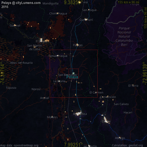
Pelaya night lights from space
Night Light of Pelaya (Cesar) from space (Colombia) Src. Average luminocity for 10x10km area is 2.0434% and for 50x50km: 0.5141%.
Analysis of Pelaya night lights 2016
Square area 10x10 km:
 0.41%
0.41%90-99
0.41%80-89
0%70-79
0.41%60-69
0.41%50-59
0.83%40-49
0%30-39
0%20-29
0%10-19
0%0-9
97.52%Square area 50x50 km:
0.04%90-99
0.06%80-89
0%70-79
0.02%60-69
0.12%50-59
0.14%40-49
0.09%30-39
0.3%20-29
0.08%10-19
0.19%0-9
98.96%Clear (daylight) street map image can be seen on geolist.org.
Map coordinates:
9° 22' 57.3" North, 74° 22' 3.5" West
8° 41' 17.5" North, 73° 39' 52.2" West
7° 59' 33" North, 72° 57' 41" West
Some cities around Pelaya sort by population:
• Aguachica
42.6 km =26.5 mi,  172°
172°
• Pailitas
30.1 km =18.7 mi,  8°
8°
• Gamarra
41.5 km =25.8 mi,  191°
191°
• Río Viejo
22.2 km =13.8 mi,  239°
239°
• La Gloria
17 km =10.6 mi, 243°
• González
45.6 km =28.3 mi,  136°
136°
• Arenal
39.8 km =24.7 mi,  230°
230°
• El Carmen
30.9 km =19.2 mi,  129°
129°
3672599 (p: 11,306)
Sources (retrieved 2019-11-25):
» Earth at Night: Flat Maps 2012, 2016