Magangué night lights from space
Night Light of Magangué (Bolívar) from space (Colombia) Src. Average luminocity for 10x10km area is 15.5108% and for 50x50km: 1.2268%.
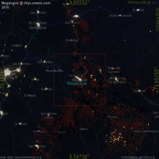
Analysis of Magangué night lights 2016
Square area 10x10 km:
 2.16%
2.16%90-99
1.3%80-89
2.6%70-79
3.25%60-69
0.22%50-59
0.87%40-49
3.03%30-39
6.06%20-29
0.87%10-19
1.08%0-9
78.57%Square area 50x50 km:
0.08%90-99
0.05%80-89
0.1%70-79
0.3%60-69
0.14%50-59
0.14%40-49
0.34%30-39
0.45%20-29
0.14%10-19
0.16%0-9
98.09%Clear (daylight) street map image can be seen on geolist.org.
Map coordinates:
9° 56' 7.2" North, 75° 27' 28.1" West
9° 14' 31.3" North, 74° 45' 16.8" West
8° 32' 50.5" North, 74° 3' 5.6" West
Some cities around Magangué sort by population:
• Mompós
36 km =22.4 mi,  90°
90°
• Santa Ana
22.2 km =13.8 mi,  66°
66°
• San Pedro
38.1 km =23.7 mi,  296°
296°
• Galeras
33.4 km =20.8 mi,  254°
254°
• Cicuco
12.9 km =8 mi, 72°
• San Zenón
27.9 km =17.3 mi, 89°
• Talaigua Viejo
20.1 km =12.5 mi, 67°
• Pijiño del Carmen
34.5 km =21.4 mi, 73°
3675692 (p: 100,313)
Sources (retrieved 2019-11-25):
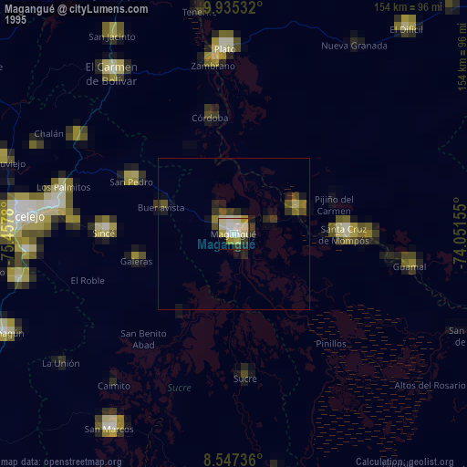
» NASA, Earths city lights 1995
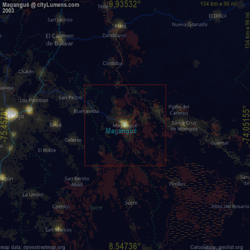
» NASA city lights 2003
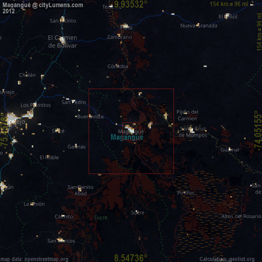
» Earth at Night: Flat Maps 2012, 2016