Gaitania night lights from space
Night Light of Gaitania (Tolima) from space (Colombia) Src. Average luminocity for 10x10km area is 0% and for 50x50km: 0.0736%.
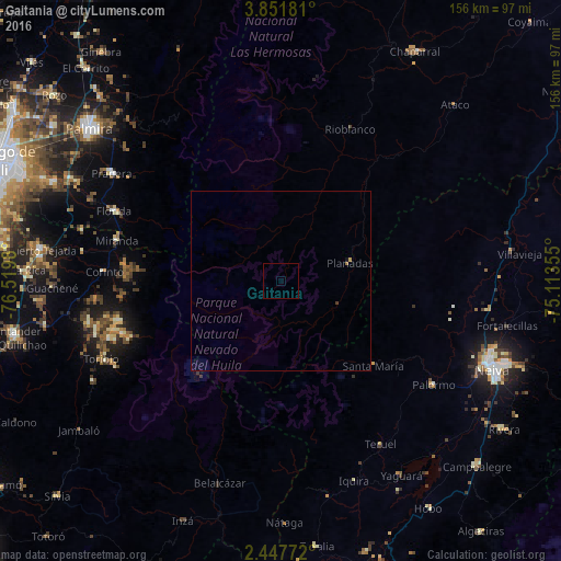
Analysis of Gaitania night lights 2016
Square area 10x10 km:
 0%
0%90-99
0%80-89
0%70-79
0%60-69
0%50-59
0%40-49
0%30-39
0%20-29
0%10-19
0%0-9
100%Square area 50x50 km:
0%90-99
0%80-89
0.02%70-79
0.02%60-69
0.03%50-59
0%40-49
0.02%30-39
0.02%20-29
0%10-19
0.03%0-9
99.86%Clear (daylight) street map image can be seen on geolist.org.
Map coordinates:
3° 51' 6.5" North, 76° 31' 11.3" West
3° 9' 0" North, 75° 49' 0" West
2° 26' 51.8" North, 75° 6' 48.8" West
Some cities around Gaitania sort by population:
• Florida
50.2 km =31.2 mi,  292°
292°
• Pradera
56.3 km =35 mi,  302°
302°
• Belalcázar
58.6 km =36.4 mi,  197°
197°
• Corinto
49.6 km =30.8 mi,  272°
272°
• Miranda
47.2 km =29.3 mi,  284°
284°
• Palermo
51 km =31.7 mi,  124°
124°
• Planadas
19.8 km =12.3 mi,  74°
74°
• Rioblanco
46.3 km =28.8 mi,  24°
24°
3682245 (p: 11,000)
Sources (retrieved 2019-11-25):
» Earth at Night: Flat Maps 2012, 2016