La Mesa night lights from space
Night Light of La Mesa (Cundinamarca) from space (Colombia) Src. Average luminocity for 10x10km area is 0% and for 50x50km: 2.3017%.
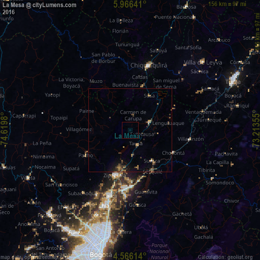
Analysis of La Mesa night lights 2016
Square area 10x10 km:
 0%
0%90-99
0%80-89
0%70-79
0%60-69
0%50-59
0%40-49
0%30-39
0%20-29
0%10-19
0%0-9
100%Square area 50x50 km:
0.06%90-99
0.04%80-89
0.22%70-79
0.28%60-69
0.47%50-59
0.63%40-49
0.33%30-39
0.95%20-29
0.4%10-19
1%0-9
95.59%Clear (daylight) street map image can be seen on geolist.org.
Map coordinates:
5° 57' 59.1" North, 74° 37' 11.3" West
5° 16' 0" North, 73° 55' 0" West
4° 33' 58.1" North, 73° 12' 48.8" West
Some cities around La Mesa sort by population:
• Zipaquirá
28.9 km =18 mi,  199°
199°
• Villa de San Diego de Ubaté
12.1 km =7.5 mi,  66°
66°
• Pacho
30.8 km =19.1 mi,  241°
241°
• Muzo
36.6 km =22.7 mi,  324°
324°
• Chocontá
28.9 km =18 mi,  117°
117°
• Tocancipá
33.5 km =20.8 mi,  179°
179°
• Villapinzón
36.1 km =22.4 mi,  98°
98°
• Nemocón
22.5 km =14 mi,  168°
168°
3678405 (p: 26,699)
Sources (retrieved 2019-11-25):
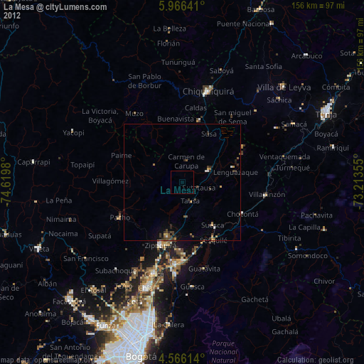
» Earth at Night: Flat Maps 2012, 2016