La Virginia night lights from space
Night Light of La Virginia (Risaralda) from space (Colombia) Src. Average luminocity for 10x10km area is 9.3512% and for 50x50km: 9.0127%.
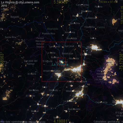
Analysis of La Virginia night lights 2016
Square area 10x10 km:
 0.83%
0.83%90-99
0.83%80-89
1.45%70-79
2.69%60-69
0.62%50-59
1.03%40-49
0%30-39
2.48%20-29
1.65%10-19
0%0-9
88.43%Square area 50x50 km:
1.56%90-99
1.47%80-89
0.49%70-79
0.7%60-69
1.4%50-59
1.4%40-49
1.48%30-39
1.75%20-29
2.13%10-19
6.28%0-9
81.34%Clear (daylight) street map image can be seen on geolist.org.
Map coordinates:
5° 35' 59.6" North, 76° 35' 8.3" West
4° 53' 59" North, 75° 52' 57" West
4° 11' 55.7" North, 75° 10' 45.8" West
Some cities around La Virginia sort by population:
• Pereira
22.8 km =14.2 mi,  114°
114°
• Cartago
17.4 km =10.8 mi,  190°
190°
• Viterbo
18.1 km =11.2 mi,  3°
3°
• Ansermanuevo
16.9 km =10.5 mi,  227°
227°
• Marsella
16.6 km =10.3 mi,  75°
75°
• Apía
23.9 km =14.9 mi,  343°
343°
• Santuario
21.4 km =13.3 mi,  334°
334°
• Belalcázar
13.1 km =8.1 mi,  36°
36°
3676720 (p: 33,835)
Sources (retrieved 2019-11-25):
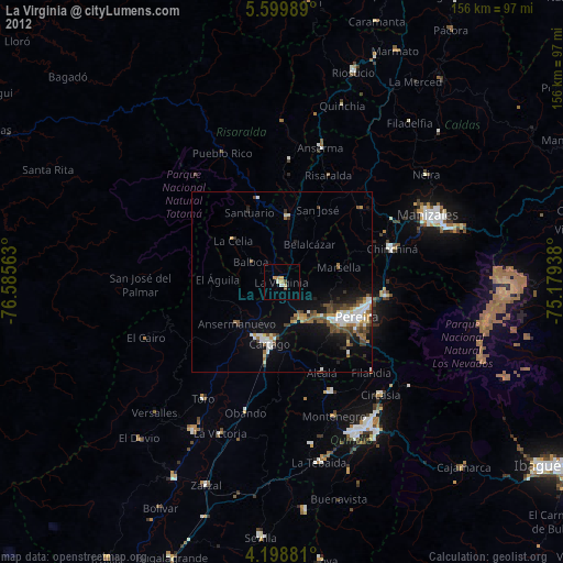
» Earth at Night: Flat Maps 2012, 2016