Yumbo night lights from space
Night Light of Yumbo (Valle del Cauca) from space (Colombia) Src. Average luminocity for 10x10km area is 56.355% and for 50x50km: 27.24%.
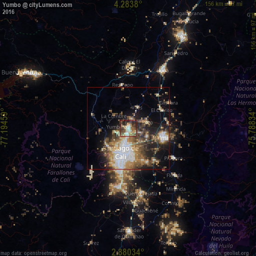
Analysis of Yumbo night lights 2016
Square area 10x10 km:
 7.14%
7.14%90-99
9.96%80-89
5.84%70-79
8.66%60-69
10.17%50-59
11.69%40-49
17.53%30-39
9.09%20-29
17.1%10-19
2.81%0-9
0%Square area 50x50 km:
5%90-99
4.38%80-89
2.52%70-79
3.17%60-69
4.6%50-59
4.59%40-49
5.51%30-39
4.69%20-29
6.32%10-19
9.5%0-9
49.72%Clear (daylight) street map image can be seen on geolist.org.
Map coordinates:
4° 17' 1.7" North, 77° 11' 40.5" West
3° 34' 56.4" North, 76° 29' 29.3" West
2° 52' 49.2" North, 75° 47' 18" West
Some cities around Yumbo sort by population:
• Cali
16.5 km =10.3 mi,  192°
192°
• Palmira
21.4 km =13.3 mi,  102°
102°
• El Cerrito
22.8 km =14.2 mi,  59°
59°
• Candelaria
25.2 km =15.7 mi,  140°
140°
• Guacarí
26.8 km =16.7 mi,  41°
41°
• Dagua
23.4 km =14.5 mi,  290°
290°
• Restrepo
26.9 km =16.7 mi,  352°
352°
• Ginebra
29.5 km =18.3 mi, 57°
3665657 (p: 71,436)
Sources (retrieved 2019-11-25):
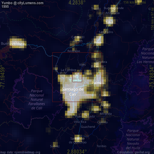
» NASA, Earths city lights 1995
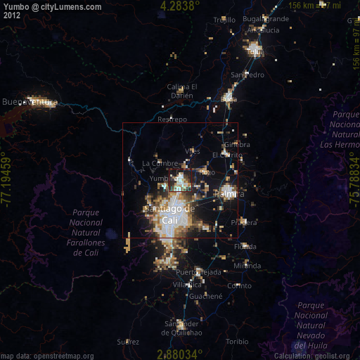
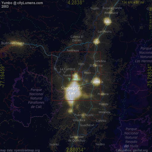
» NASA city lights 2003
» Earth at Night: Flat Maps 2012, 2016