Aipe night lights from space
Night Light of Aipe (Huila) from space (Colombia) Src. Average luminocity for 10x10km area is 1.7229% and for 50x50km: 0.6523%.
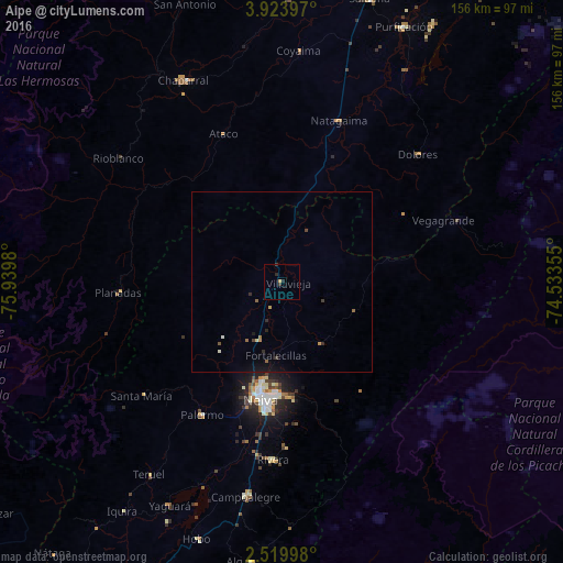
Analysis of Aipe night lights 2016
Square area 10x10 km:
 0%
0%90-99
0%80-89
0%70-79
0.87%60-69
0%50-59
0%40-49
0%30-39
1.3%20-29
1.73%10-19
0%0-9
96.1%Square area 50x50 km:
0.02%90-99
0.05%80-89
0.03%70-79
0.14%60-69
0.09%50-59
0.12%40-49
0.06%30-39
0.19%20-29
0.2%10-19
0.29%0-9
98.81%Clear (daylight) street map image can be seen on geolist.org.
Map coordinates:
3° 55' 26.3" North, 75° 56' 23.3" West
3° 13' 20" North, 75° 14' 12" West
2° 31' 11.9" North, 74° 32' 0.8" West
Some cities around Aipe sort by population:
• Neiva
33.2 km =20.6 mi,  188°
188°
• Campoalegre
60.5 km =37.6 mi, 189°
• Natagaima
47 km =29.2 mi,  19°
19°
• Palermo
43 km =26.7 mi,  211°
211°
• Planadas
45.4 km =28.2 mi,  266°
266°
• Rivera
49.5 km =30.8 mi,  182°
182°
• Santa Isabel
31.8 km =19.8 mi,  63°
63°
• Rioblanco
56.8 km =35.3 mi,  307°
307°
3690287 (p: 7,964)
Sources (retrieved 2019-11-25):
» Earth at Night: Flat Maps 2012, 2016