Campoalegre night lights from space
Night Light of Campoalegre (Huila) from space (Colombia) Src. Average luminocity for 10x10km area is 7.1277% and for 50x50km: 2.3972%.
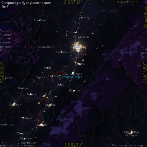
Analysis of Campoalegre night lights 2016
Square area 10x10 km:
 0%
0%90-99
1.73%80-89
1.73%70-79
0.87%60-69
0.87%50-59
2.38%40-49
0.65%30-39
0%20-29
0%10-19
0%0-9
91.77%Square area 50x50 km:
0.07%90-99
0.33%80-89
0.39%70-79
0.3%60-69
0.27%50-59
0.32%40-49
0.43%30-39
0.5%20-29
0.61%10-19
1.45%0-9
95.34%Clear (daylight) street map image can be seen on geolist.org.
Map coordinates:
3° 23' 13.3" North, 76° 1' 34.5" West
2° 41' 5.6" North, 75° 19' 23.2" West
1° 58' 56.5" North, 74° 37' 12" West
Some cities around Campoalegre sort by population:
• Neiva
27.3 km =17 mi,  9°
9°
• Garzón
64 km =39.8 mi,  211°
211°
• Algeciras
17.9 km =11.1 mi,  177°
177°
• Palermo
26.3 km =16.3 mi,  331°
331°
• Gigante
41.5 km =25.8 mi,  216°
216°
• Rivera
12.7 km =7.9 mi,  35°
35°
• Aipe
60.5 km =37.6 mi, 9°
• Yaguará
21.7 km =13.5 mi,  263°
263°
3687806 (p: 22,568)
Sources (retrieved 2019-11-25):
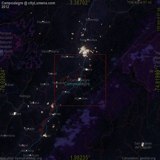
» Earth at Night: Flat Maps 2012, 2016