Natagaima night lights from space
Night Light of Natagaima (Tolima) from space (Colombia) Src. Average luminocity for 10x10km area is 1.4004% and for 50x50km: 0.3544%.
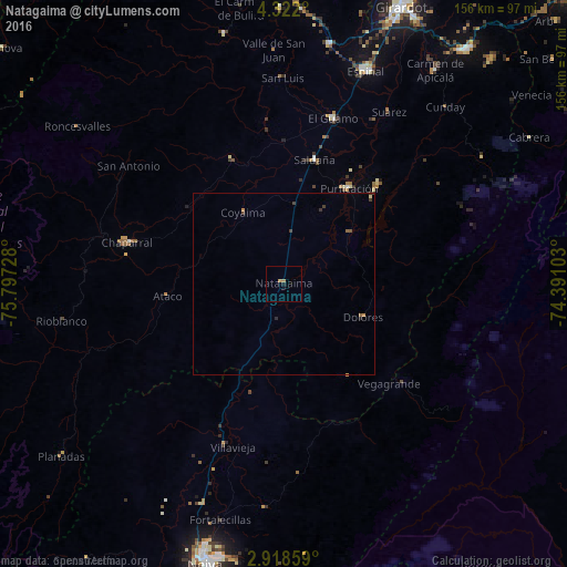
Analysis of Natagaima night lights 2016
Square area 10x10 km:
 0%
0%90-99
0%80-89
0%70-79
0.87%60-69
0.87%50-59
0%40-49
0%30-39
0%20-29
0%10-19
0.87%0-9
97.4%Square area 50x50 km:
0%90-99
0%80-89
0.03%70-79
0.09%60-69
0.07%50-59
0.09%40-49
0.02%30-39
0.22%20-29
0.04%10-19
0.06%0-9
99.39%Clear (daylight) street map image can be seen on geolist.org.
Map coordinates:
4° 19' 19.2" North, 75° 47' 50.2" West
3° 37' 14.1" North, 75° 5' 38.9" West
2° 55' 6.9" North, 74° 23' 27.7" West
Some cities around Natagaima sort by population:
• Chaparral
44.6 km =27.7 mi,  284°
284°
• Guamo
47.6 km =29.6 mi,  16°
16°
• Purificación
32.1 km =19.9 mi,  34°
34°
• Saldaña
35.4 km =22 mi,  14°
14°
• Aipe
47 km =29.2 mi,  199°
199°
• La Chamba
51.6 km =32.1 mi, 29°
• Ortega
37.8 km =23.5 mi,  338°
338°
• Santa Isabel
32.7 km =20.3 mi,  157°
157°
3674010 (p: 11,217)
Sources (retrieved 2019-11-25):
» Earth at Night: Flat Maps 2012, 2016