Santa Isabel night lights from space
Night Light of Santa Isabel (Tolima) from space (Colombia) Src. Average luminocity for 10x10km area is 0.1775% and for 50x50km: 0.1683%.
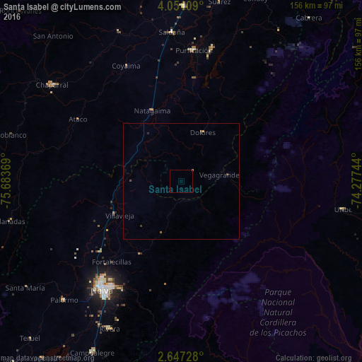
Analysis of Santa Isabel night lights 2016
Square area 10x10 km:
 0%
0%90-99
0%80-89
0%70-79
0.22%60-69
0%50-59
0%40-49
0%30-39
0%20-29
0%10-19
0%0-9
99.78%Square area 50x50 km:
0%90-99
0%80-89
0%70-79
0.07%60-69
0.03%50-59
0.03%40-49
0.07%30-39
0.03%20-29
0.04%10-19
0.03%0-9
99.69%Clear (daylight) street map image can be seen on geolist.org.
Map coordinates:
4° 3' 3.9" North, 75° 41' 1.3" West
3° 20' 58" North, 74° 58' 50" West
2° 38' 50.2" North, 74° 16' 38.8" West
Some cities around Santa Isabel sort by population:
• Neiva
57.6 km =35.8 mi,  215°
215°
• Chaparral
69.6 km =43.2 mi,  306°
306°
• Natagaima
32.7 km =20.3 mi,  337°
337°
• Purificación
56.9 km =35.4 mi,  5°
5°
• Saldaña
64.6 km =40.1 mi,  356°
356°
• Rivera
70.6 km =43.9 mi,  205°
205°
• Aipe
31.8 km =19.8 mi,  243°
243°
• Ortega
70.5 km =43.8 mi, 337°
3828283 (p: 6,382)
Sources (retrieved 2019-11-25):
» Earth at Night: Flat Maps 2012, 2016