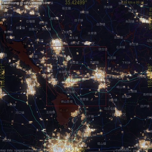
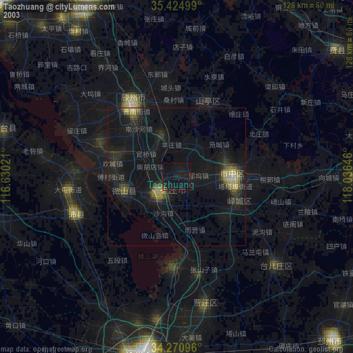
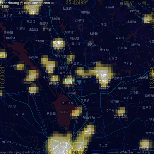
Taozhuang night lights from space
Night Light of Taozhuang (Shandong) from space (China) Src. Average luminocity for 10x10km area is 29.4817% and for 50x50km: 11.8653%.
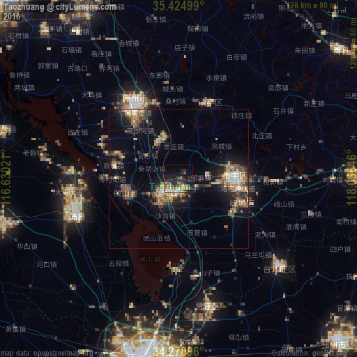
Analysis of Taozhuang night lights 2016
Square area 10x10 km:
 2.01%
2.01%90-99
2.93%80-89
4.21%70-79
4.4%60-69
6.41%50-59
5.49%40-49
2.2%30-39
7.14%20-29
11.9%10-19
23.08%0-9
30.22%Square area 50x50 km:
0.72%90-99
1.14%80-89
1.4%70-79
1.54%60-69
2.12%50-59
2.26%40-49
2.27%30-39
2.31%20-29
3.24%10-19
8.53%0-9
74.47%Clear (daylight) street map image can be seen on geolist.org.
Map coordinates:
35° 25' 30" North, 116° 37' 48.8" East
34° 51' 0" North, 117° 19' 60" East
34° 16' 15.5" North, 118° 2' 11.3" East
Some cities around Taozhuang sort by population:
• Zoucheng
69.8 km =43.4 mi,  331°
331°
• Zaozhuang
20.2 km =12.6 mi,  85°
85°
• Xiazhen
20.9 km =13 mi,  255°
255°
• Chengtangcun
29 km =18 mi, 333°
• Feicheng
73.6 km =45.7 mi,  51°
51°
• Shanting
27.5 km =17.1 mi,  24°
24°
• Bianzhuang
64.9 km =40.3 mi, 90°
• Fengxian
70.1 km =43.6 mi, 256°
1793089 (p: 60,137)
Sources (retrieved 2019-11-25):
» NASA, Earths city lights 1995
» NASA city lights 2003
» Earth at Night: Flat Maps 2012, 2016