Xiazhen night lights from space
Night Light of Xiazhen (Shandong) from space (China) Src. Average luminocity for 10x10km area is 16.1758% and for 50x50km: 11.7039%.
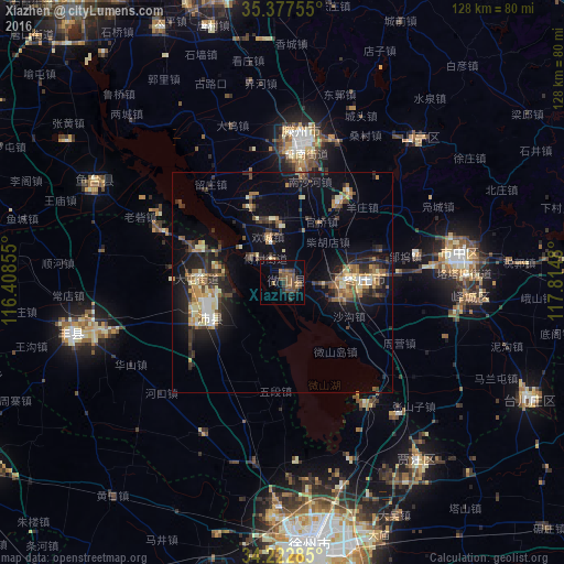


Analysis of Xiazhen night lights 2016
Square area 10x10 km:
 0%
0%90-99
0%80-89
0%70-79
0%60-69
4.21%50-59
8.42%40-49
7.51%30-39
3.85%20-29
1.65%10-19
3.85%0-9
70.51%Square area 50x50 km:
0.64%90-99
1.4%80-89
1.45%70-79
1.55%60-69
1.79%50-59
1.71%40-49
2.02%30-39
2.47%20-29
3.6%10-19
8.54%0-9
74.82%Clear (daylight) street map image can be seen on geolist.org.
Map coordinates:
35° 22' 39.2" North, 116° 24' 30.8" East
34° 48' 8" North, 117° 6' 42" East
34° 13' 22.3" North, 117° 48' 53.3" East
Some cities around Xiazhen sort by population:
• Zoucheng
67.8 km =42.1 mi,  348°
348°
• Zaozhuang
41 km =25.5 mi,  80°
80°
• Chengtangcun
32.1 km =19.9 mi,  12°
12°
• Shanting
43.8 km =27.2 mi,  46°
46°
• Tangzhai
62.9 km =39.1 mi,  229°
229°
• Yucheng
60.6 km =37.7 mi,  283°
283°
• Taozhuang
20.9 km =13 mi, 75°
• Fengxian
49.1 km =30.5 mi,  257°
257°
1789703 (p: 125,667)
Sources (retrieved 2019-11-25):
» NASA, Earths city lights 1995
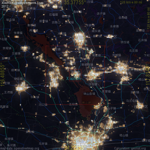
» NASA city lights 2003
» Earth at Night: Flat Maps 2012, 2016