Shashi night lights from space
Night Light of Shashi (Hubei) from space (China) Src. Average luminocity for 10x10km area is 56.9267% and for 50x50km: 5.9953%.
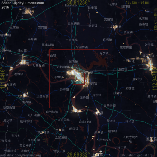
Analysis of Shashi night lights 2016
Square area 10x10 km:
 16.3%
16.3%90-99
12.45%80-89
8.06%70-79
5.49%60-69
4.58%50-59
4.03%40-49
7.14%30-39
7.88%20-29
19.78%10-19
10.44%0-9
3.85%Square area 50x50 km:
0.82%90-99
0.93%80-89
0.76%70-79
0.71%60-69
0.64%50-59
0.79%40-49
0.98%30-39
0.88%20-29
2.1%10-19
4.06%0-9
87.35%Clear (daylight) street map image can be seen on geolist.org.
Map coordinates:
30° 54' 44.5" North, 111° 32' 29.8" East
30° 18' 26" North, 112° 14' 41" East
29° 41' 54" North, 112° 56' 52.3" East
Some cities around Shashi sort by population:
• Qianjiang
63.4 km =39.4 mi,  78°
78°
• Jingzhou
7.1 km =4.4 mi,  312°
312°
• Jingmen
80.9 km =50.3 mi,  357°
357°
• Zhicheng
71.1 km =44.2 mi,  268°
268°
• Xiulin
67.3 km =41.8 mi,  167°
167°
• Buhe
2.6 km =1.6 mi,  213°
213°
• Duobao
58.7 km =36.5 mi,  46°
46°
• Zhijiang
48.8 km =30.3 mi,  285°
285°
1795816 (p: 498,780)
Sources (retrieved 2019-11-25):
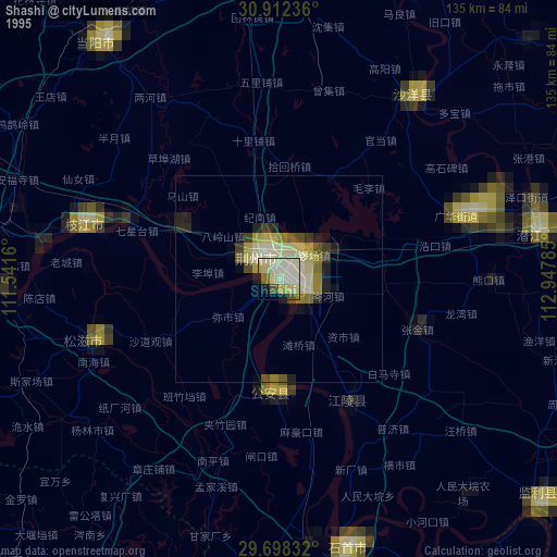
» NASA, Earths city lights 1995
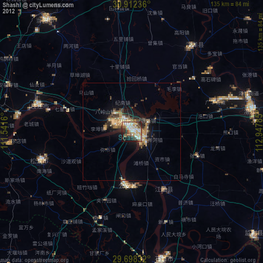
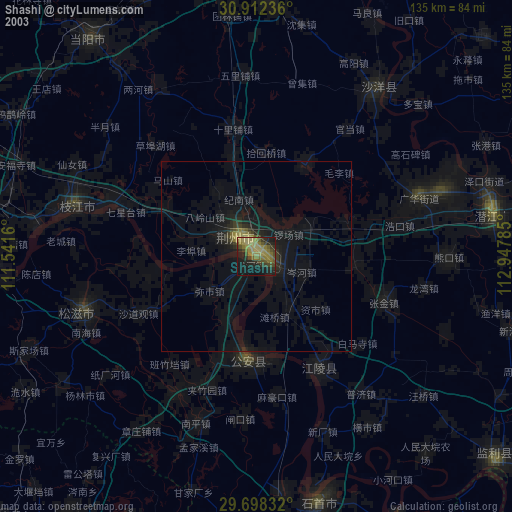
» NASA city lights 2003
» Earth at Night: Flat Maps 2012, 2016