Karamay night lights from space
Night Light of Karamay (Xinjiang) from space (China) Src. Average luminocity for 10x10km area is 65.2455% and for 50x50km: 6.6239%.
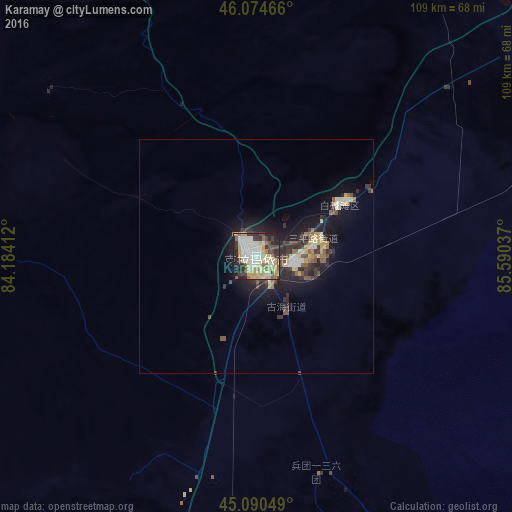
Analysis of Karamay night lights 2016
Square area 10x10 km:
 11.82%
90-99
15.76%80-89
18.18%70-79
8.18%60-69
6.67%50-59
3.94%40-49
6.21%30-39
10.76%20-29
11.97%10-19
6.52%0-9
0%Square area 50x50 km:
0.69%90-99
1%80-89
1.32%70-79
0.66%60-69
0.63%50-59
0.72%40-49
0.85%30-39
1.53%20-29
2.06%10-19
5.03%0-9
85.52%Clear (daylight) street map image can be seen on geolist.org.
Map coordinates:
46° 4' 28.8" North, 84° 11' 2.8" East
45° 35' 5" North, 84° 53' 14.1" East
45° 5' 25.8" North, 85° 35' 25.3" East
Some cities around Karamay sort by population:
• Ürümqi
292.1 km =181.5 mi,  132°
132°
• Shihezi
168.9 km =104.9 mi,  147°
147°
• Xinyuan
272.8 km =169.5 mi,  208°
208°
• Changji
259.1 km =161 mi, 132°
• Baijiantan
23 km =14.3 mi,  58°
58°
• Hoxtolgay
134.9 km =83.8 mi,  39°
39°
• Zaysan, KZ
209.2 km =130 mi,  359°
359°
• Tūghyl, KZ
243.6 km =151.4 mi,  347°
347°
1529401 (p: 260,000)
Sources (retrieved 2019-11-25):
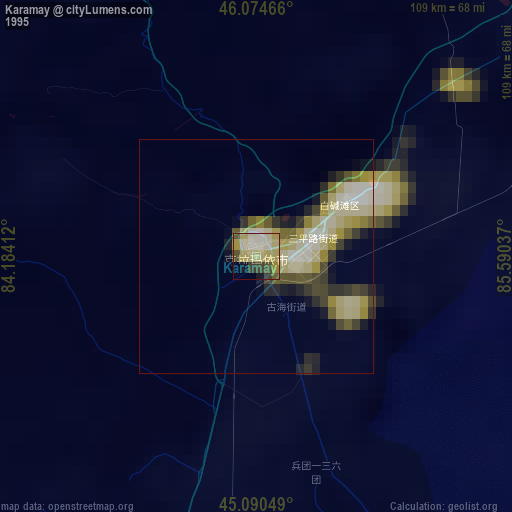
» NASA, Earths city lights 1995
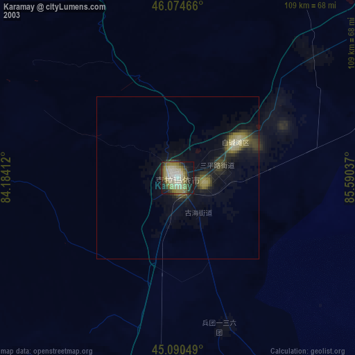
» NASA city lights 2003
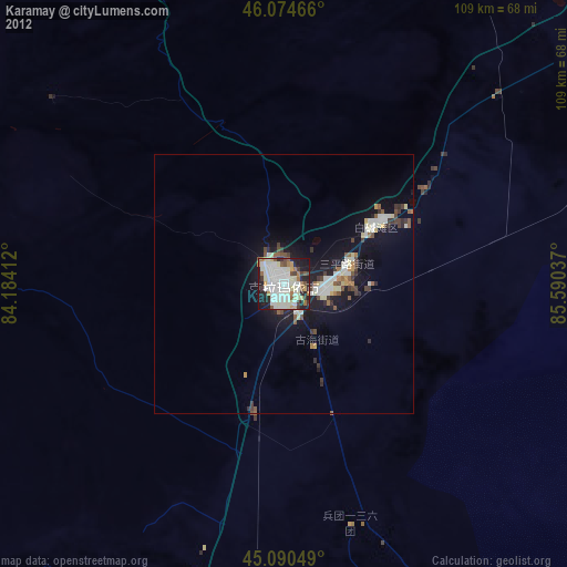
» Earth at Night: Flat Maps 2012, 2016