Xiantao night lights from space
Night Light of Xiantao (Hubei) from space (China) Src. Average luminocity for 10x10km area is 30.5586% and for 50x50km: 2.0451%.
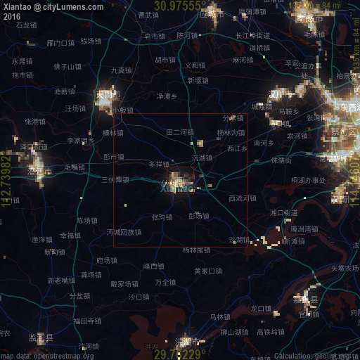

Analysis of Xiantao night lights 2016
Square area 10x10 km:
 0.55%
0.55%90-99
0.73%80-89
6.04%70-79
5.31%60-69
5.86%50-59
5.86%40-49
9.52%30-39
7.51%20-29
6.59%10-19
25.27%0-9
26.74%Square area 50x50 km:
0.04%90-99
0.08%80-89
0.32%70-79
0.32%60-69
0.36%50-59
0.33%40-49
0.49%30-39
0.58%20-29
0.35%10-19
1.29%0-9
95.84%Clear (daylight) street map image can be seen on geolist.org.
Map coordinates:
30° 58' 32" North, 112° 44' 23.4" East
30° 22' 14.9" North, 113° 26' 34.6" East
29° 45' 44.2" North, 114° 8' 45.9" East
Some cities around Xiantao sort by population:
• Chengzhong
64.7 km =40.2 mi,  9°
9°
• Jingling
45.2 km =28.1 mi,  313°
313°
• Qianjiang
53.1 km =33 mi,  276°
276°
• Xindi
61.7 km =38.3 mi,  177°
177°
• Xiaogan
77 km =47.8 mi,  36°
36°
• Hanchuan
43.9 km =27.3 mi, 44°
• Caidian
61.3 km =38.1 mi,  67°
67°
• Fengkou
33.7 km =20.9 mi,  198°
198°
1790371 (p: 239,406)
Sources (retrieved 2019-11-25):
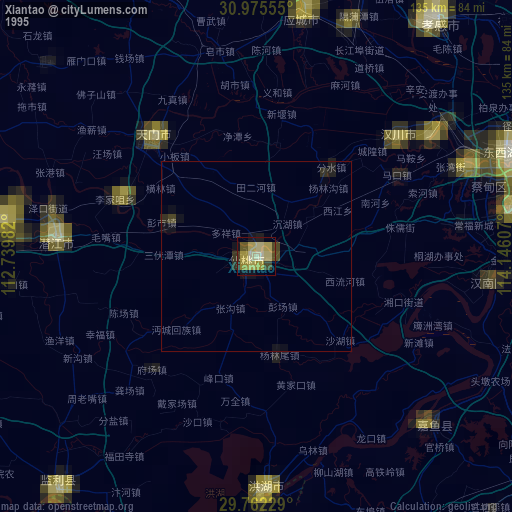
» NASA, Earths city lights 1995
» NASA city lights 2003
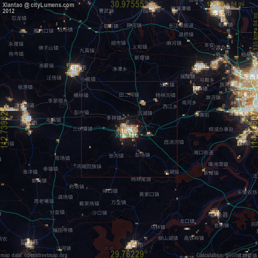
» Earth at Night: Flat Maps 2012, 2016