Nanpiao night lights from space
Night Light of Nanpiao (Liaoning) from space (China) Src. Average luminocity for 10x10km area is 1.6088% and for 50x50km: 0.8806%.
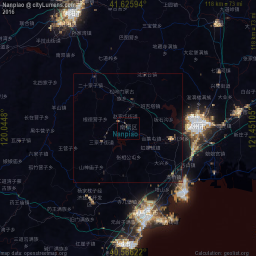
Analysis of Nanpiao night lights 2016
Square area 10x10 km:
 0%
0%90-99
0%80-89
0%70-79
0.97%60-69
0%50-59
0%40-49
1.3%30-39
0%20-29
0.65%10-19
0%0-9
97.08%Square area 50x50 km:
0%90-99
0%80-89
0.06%70-79
0.1%60-69
0.14%50-59
0.04%40-49
0.21%30-39
0.37%20-29
0.29%10-19
1.24%0-9
97.55%Clear (daylight) street map image can be seen on geolist.org.
Map coordinates:
41° 37' 33.4" North, 120° 2' 41.3" East
41° 5' 53.6" North, 120° 44' 52.5" East
40° 33' 58.4" North, 121° 27' 3.8" East
Some cities around Nanpiao sort by population:
• Panshan
109.4 km =68 mi,  84°
84°
• Jinzhou
33 km =20.5 mi,  88°
88°
• Chaoyang
57.8 km =35.9 mi,  335°
335°
• Lianshan
38.2 km =23.7 mi,  166°
166°
• Beipiao
77.2 km =48 mi,  1°
1°
• Xingcheng
53.6 km =33.3 mi,  182°
182°
• Yebaishou
98.4 km =61.1 mi,  289°
289°
• Linghai
52.4 km =32.6 mi, 81°
2035644 (p: 157,044)
Sources (retrieved 2019-11-25):
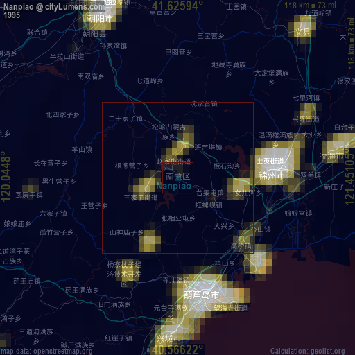
» NASA, Earths city lights 1995
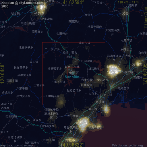
» NASA city lights 2003
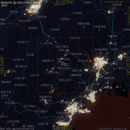
» Earth at Night: Flat Maps 2012, 2016