Beipiao night lights from space
Night Light of Beipiao (Liaoning) from space (China) Src. Average luminocity for 10x10km area is 11.9692% and for 50x50km: 1.4009%.
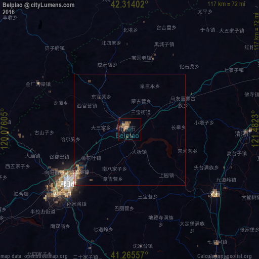
Analysis of Beipiao night lights 2016
Square area 10x10 km:
 0%
0%90-99
0%80-89
1.3%70-79
2.44%60-69
5.36%50-59
2.6%40-49
1.62%30-39
3.08%20-29
0.97%10-19
1.62%0-9
81.01%Square area 50x50 km:
0.02%90-99
0.06%80-89
0.24%70-79
0.2%60-69
0.31%50-59
0.19%40-49
0.3%30-39
0.39%20-29
0.39%10-19
0.76%0-9
97.13%Clear (daylight) street map image can be seen on geolist.org.
Map coordinates:
42° 18' 50.5" North, 120° 4' 33.8" East
41° 47' 31" North, 120° 46' 45" East
41° 15' 56.1" North, 121° 28' 56.3" East
Some cities around Beipiao sort by population:
• Fuxin
76.9 km =47.8 mi,  71°
71°
• Jinzhou
81.9 km =50.9 mi,  158°
158°
• Chaoyang
36.3 km =22.6 mi,  227°
227°
• Lianshan
114.4 km =71.1 mi,  176°
176°
• Nanpiao
77.2 km =48 mi, 181°
• Heishan
111.2 km =69.1 mi,  95°
95°
• Yebaishou
104.3 km =64.8 mi,  245°
245°
• Linghai
85.1 km =52.9 mi,  144°
144°
2038342 (p: 154,999)
Sources (retrieved 2019-11-25):
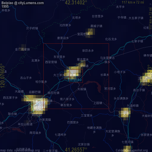
» NASA, Earths city lights 1995
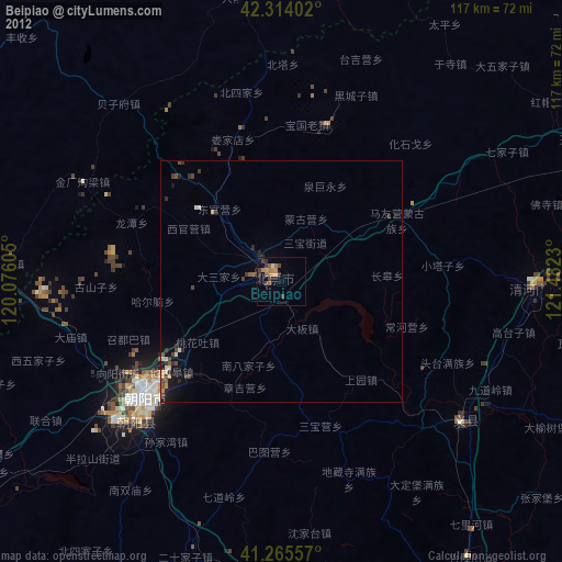
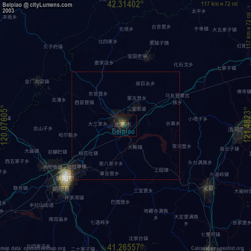
» NASA city lights 2003
» Earth at Night: Flat Maps 2012, 2016