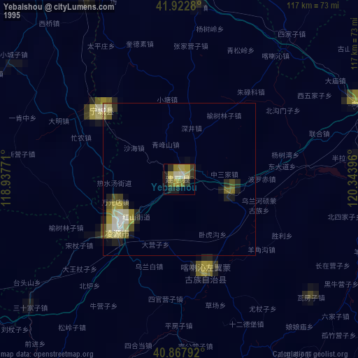
Yebaishou night lights from space
Night Light of Yebaishou (Liaoning) from space (China) Src. Average luminocity for 10x10km area is 14.7806% and for 50x50km: 2.812%.


Analysis of Yebaishou night lights 2016
Square area 10x10 km:
 0%
0%90-99
0.68%80-89
1.19%70-79
1.53%60-69
4.25%50-59
4.93%40-49
1.7%30-39
7.31%20-29
2.21%10-19
2.55%0-9
73.64%Square area 50x50 km:
0.19%90-99
0.23%80-89
0.28%70-79
0.43%60-69
0.36%50-59
0.57%40-49
0.38%30-39
0.81%20-29
0.74%10-19
2.04%0-9
93.98%Clear (daylight) street map image can be seen on geolist.org.
Map coordinates:
41° 55' 22.1" North, 118° 56' 15.8" East
41° 23' 51" North, 119° 38' 27" East
40° 52' 4.5" North, 120° 20' 38.3" East
Some cities around Yebaishou sort by population:
• Chaoyang
70.8 km =44 mi,  74°
74°
• Chifeng
111.9 km =69.5 mi,  329°
329°
• Lianshan
123.6 km =76.8 mi,  124°
124°
• Nanpiao
98.4 km =61.1 mi,  109°
109°
• Beipiao
104.3 km =64.8 mi, 65°
• Lingyuan
26.6 km =16.5 mi,  228°
228°
• Pingzhuang
76.9 km =47.8 mi,  337°
337°
• Mujiayingzi
107 km =66.5 mi,  318°
318°
2033423 (p: 65,536)
Sources (retrieved 2019-11-25):
» NASA, Earths city lights 1995
» NASA city lights 2003
» Earth at Night: Flat Maps 2012, 2016