Nanma night lights from space
Night Light of Nanma (Shandong) from space (China) Src. Average luminocity for 10x10km area is 32.5297% and for 50x50km: 1.9255%.
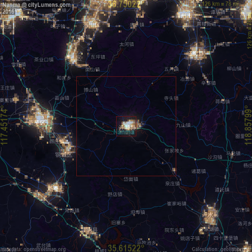
Analysis of Nanma night lights 2016
Square area 10x10 km:
 3.5%
3.5%90-99
5.59%80-89
8.04%70-79
1.22%60-69
3.32%50-59
6.64%40-49
5.07%30-39
1.75%20-29
3.15%10-19
37.41%0-9
24.3%Square area 50x50 km:
0.14%90-99
0.22%80-89
0.36%70-79
0.08%60-69
0.19%50-59
0.44%40-49
0.38%30-39
0.2%20-29
0.35%10-19
1.95%0-9
95.7%Clear (daylight) street map image can be seen on geolist.org.
Map coordinates:
36° 45' 0.8" North, 117° 27' 6.3" East
36° 11' 5.2" North, 118° 9' 17.5" East
35° 36' 54.8" North, 118° 51' 28.8" East
Some cities around Nanma sort by population:
• Xintai
48.1 km =29.9 mi,  228°
228°
• Boshan
43.9 km =27.3 mi,  319°
319°
• Laiwu
44.7 km =27.8 mi,  271°
271°
• Yishui
61.6 km =38.3 mi,  136°
136°
• Nanding
63.3 km =39.3 mi,  351°
351°
• Linqu
50.4 km =31.3 mi,  43°
43°
• Dongdu
55.3 km =34.4 mi, 227°
• Mengyin
57 km =35.4 mi,  201°
201°
1799897 (p: 74,406)
Sources (retrieved 2019-11-25):
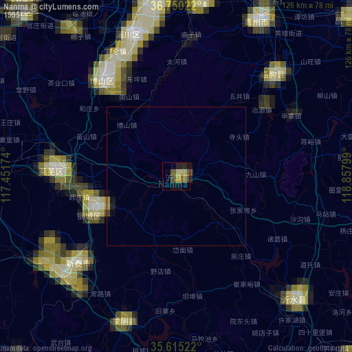
» NASA, Earths city lights 1995
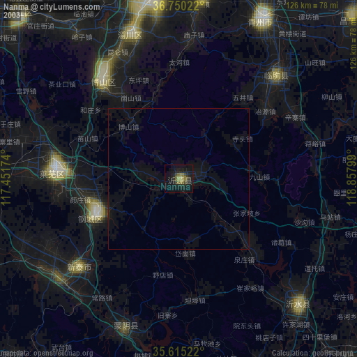
» NASA city lights 2003
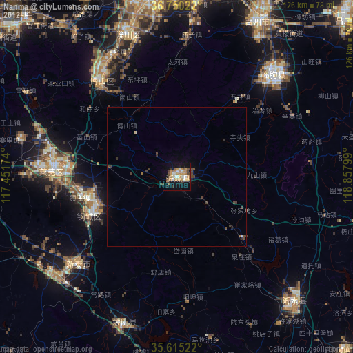
» Earth at Night: Flat Maps 2012, 2016