Laiwu night lights from space
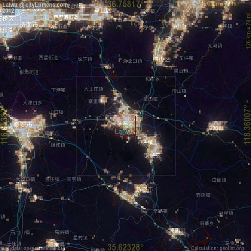
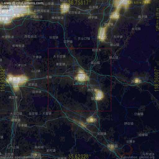
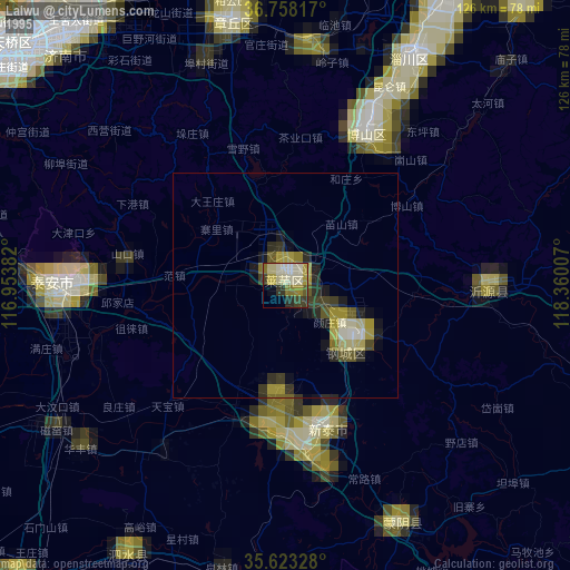
Night Light of Laiwu (Shandong) from space (China) Src. Average luminocity for 10x10km area is 53.1066% and for 50x50km: 7.6182%.
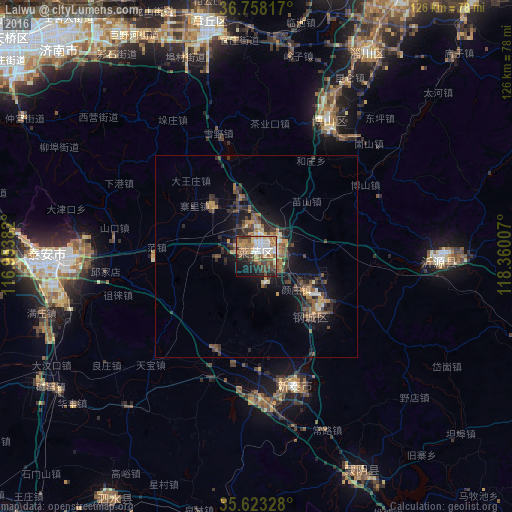
Analysis of Laiwu night lights 2016
Square area 10x10 km:
 8.57%
8.57%90-99
8.92%80-89
5.77%70-79
7.52%60-69
13.64%50-59
9.62%40-49
9.79%30-39
7.17%20-29
9.44%10-19
14.69%0-9
4.9%Square area 50x50 km:
0.5%90-99
0.62%80-89
0.71%70-79
1.04%60-69
1.35%50-59
1.55%40-49
1.51%30-39
2.05%20-29
2.45%10-19
5.63%0-9
82.59%Clear (daylight) street map image can be seen on geolist.org.
Map coordinates:
36° 45' 29.4" North, 116° 57' 13.8" East
36° 11' 34" North, 117° 39' 25" East
35° 37' 23.8" North, 118° 21' 36.3" East
Some cities around Laiwu sort by population:
• Tai’an
48.2 km =30 mi,  269°
269°
• Xintai
33.6 km =20.9 mi,  165°
165°
• Boshan
36 km =22.4 mi,  26°
26°
• Mingshui
59.9 km =37.2 mi,  346°
346°
• Sishui
69.5 km =43.2 mi,  209°
209°
• Nanma
44.7 km =27.8 mi,  91°
91°
• Dongdu
38.3 km =23.8 mi, 174°
• Mengyin
59.2 km =36.8 mi,  155°
155°
1804591 (p: 124,108)
Sources (retrieved 2019-11-25):
» NASA, Earths city lights 1995
» NASA city lights 2003
» Earth at Night: Flat Maps 2012, 2016