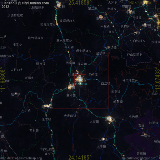
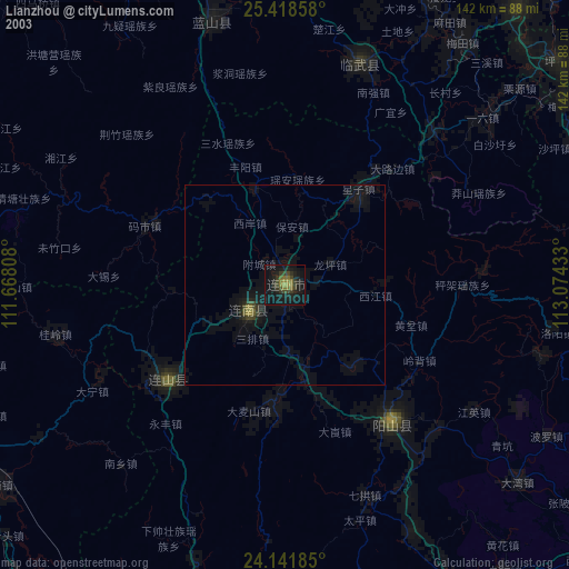
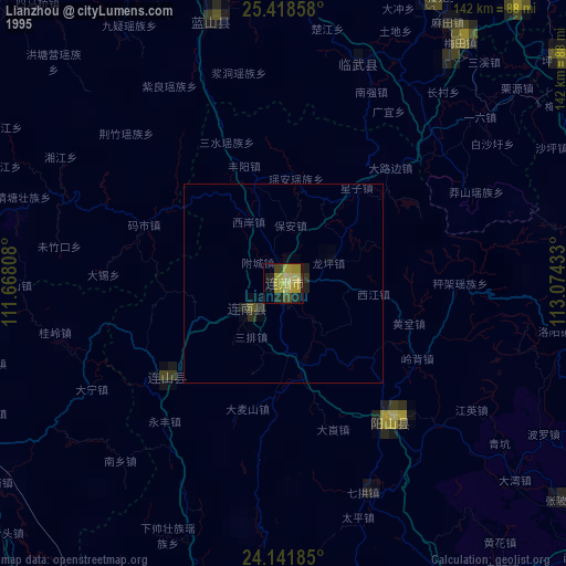
Lianzhou night lights from space
Night Light of Lianzhou (Guangdong) from space (China) Src. Average luminocity for 10x10km area is 27.572% and for 50x50km: 2.036%.
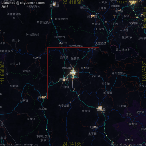
Analysis of Lianzhou night lights 2016
Square area 10x10 km:
 3.41%
3.41%90-99
2.27%80-89
4.92%70-79
2.46%60-69
5.11%50-59
3.41%40-49
6.06%30-39
2.46%20-29
3.98%10-19
33.33%0-9
32.58%Square area 50x50 km:
0.16%90-99
0.1%80-89
0.2%70-79
0.24%60-69
0.25%50-59
0.35%40-49
0.62%30-39
0.43%20-29
0.48%10-19
1.47%0-9
95.7%Clear (daylight) street map image can be seen on geolist.org.
Map coordinates:
25° 25' 6.9" North, 111° 40' 5.1" East
24° 46' 54.7" North, 112° 22' 16.3" East
24° 8' 30.7" North, 113° 4' 27.6" East
Some cities around Lianzhou sort by population:
• Shaoguan
122.4 km =76.1 mi,  89°
89°
• Chenzhou
131.3 km =81.6 mi,  30°
30°
• Qingyuan
137.8 km =85.6 mi,  150°
150°
• Lecheng
106 km =65.9 mi,  68°
68°
• Maba
124.4 km =77.3 mi,  95°
95°
• Huaicheng
97.9 km =60.8 mi,  191°
191°
• Nanfeng
130.9 km =81.3 mi,  206°
206°
• Babu
95.5 km =59.3 mi,  244°
244°
1803841 (p: 92,827)
Sources (retrieved 2019-11-25):
» NASA, Earths city lights 1995
» NASA city lights 2003
» Earth at Night: Flat Maps 2012, 2016