Huaicheng night lights from space
Night Light of Huaicheng (Guangdong) from space (China) Src. Average luminocity for 10x10km area is 24.7758% and for 50x50km: 1.4133%.
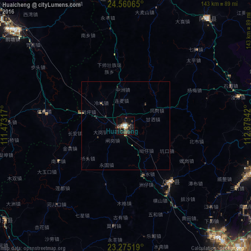
Analysis of Huaicheng night lights 2016
Square area 10x10 km:
 1.98%
1.98%90-99
4.37%80-89
0%70-79
2.98%60-69
2.38%50-59
5.16%40-49
7.74%30-39
5.36%20-29
8.93%10-19
17.06%0-9
44.05%Square area 50x50 km:
0.08%90-99
0.17%80-89
0.03%70-79
0.21%60-69
0.09%50-59
0.26%40-49
0.37%30-39
0.47%20-29
0.44%10-19
0.79%0-9
97.1%Clear (daylight) street map image can be seen on geolist.org.
Map coordinates:
24° 33' 38.3" North, 111° 28' 23.4" East
23° 55' 10.3" North, 112° 10' 34.6" East
23° 16' 30.7" North, 112° 52' 45.9" East
Some cities around Huaicheng sort by population:
• Zhaoqing
101.1 km =62.8 mi,  163°
163°
• Wuzhou
100.1 km =62.2 mi,  241°
241°
• Qingyuan
90.5 km =56.2 mi,  105°
105°
• Lubu
83.8 km =52.1 mi,  172°
172°
• Ducheng
100.2 km =62.3 mi,  221°
221°
• Lianzhou
97.9 km =60.8 mi,  11°
11°
• Nanfeng
44.1 km =27.4 mi, 240°
• Babu
86.8 km =53.9 mi,  309°
309°
1807687 (p: 89,294)
Sources (retrieved 2019-11-25):
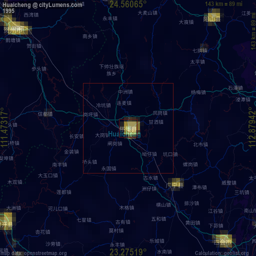
» NASA, Earths city lights 1995
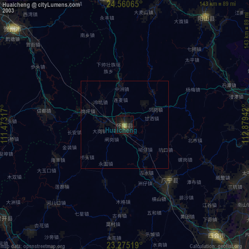
» NASA city lights 2003
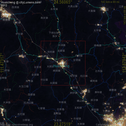
» Earth at Night: Flat Maps 2012, 2016