Nanfeng night lights from space
Night Light of Nanfeng (Guangdong) from space (China) Src. Average luminocity for 10x10km area is 1.5853% and for 50x50km: 0.1198%.
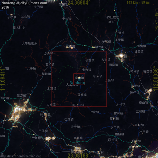
Analysis of Nanfeng night lights 2016
Square area 10x10 km:
 0%
0%90-99
0%80-89
0%70-79
0.79%60-69
0%50-59
0.79%40-49
0.79%30-39
0%20-29
0%10-19
0%0-9
97.62%Square area 50x50 km:
0%90-99
0%80-89
0%70-79
0.03%60-69
0%50-59
0.06%40-49
0.04%30-39
0.06%20-29
0.03%10-19
0%0-9
99.78%Clear (daylight) street map image can be seen on geolist.org.
Map coordinates:
24° 22' 8.5" North, 111° 5' 38.8" East
23° 43' 37" North, 111° 47' 50" East
23° 4' 54" North, 112° 30' 1.3" East
Some cities around Nanfeng sort by population:
• Yunfu
92.2 km =57.3 mi,  164°
164°
• Zhaoqing
101.3 km =62.9 mi,  138°
138°
• Wuzhou
56 km =34.8 mi,  241°
241°
• Lubu
79.1 km =49.2 mi, 141°
• Ducheng
60.5 km =37.6 mi,  206°
206°
• Huaicheng
44.1 km =27.4 mi,  60°
60°
• Babu
81.8 km =50.8 mi,  339°
339°
• Jinji
113.5 km =70.5 mi, 240°
1800088 (p: 86,129)
Sources (retrieved 2019-11-25):
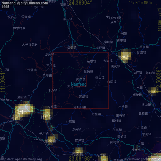
» NASA, Earths city lights 1995
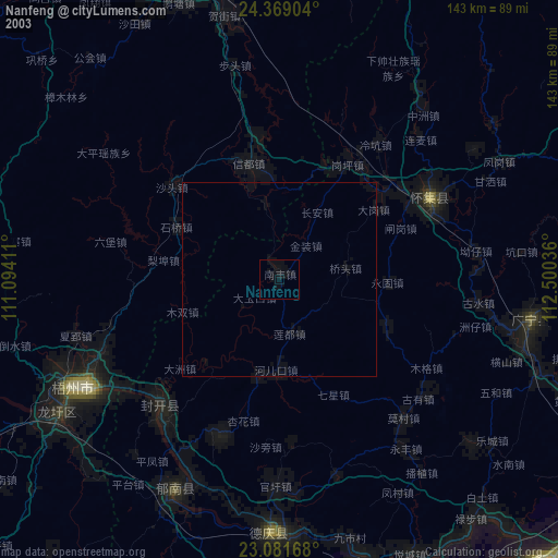
» NASA city lights 2003
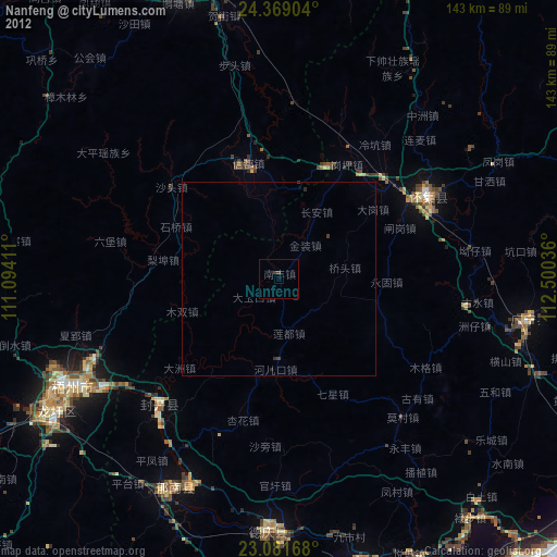
» Earth at Night: Flat Maps 2012, 2016