Lecheng night lights from space
Night Light of Lecheng (Guangdong) from space (China) Src. Average luminocity for 10x10km area is 17.4886% and for 50x50km: 1.3313%.
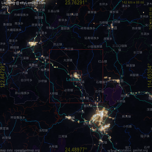
Analysis of Lecheng night lights 2016
Square area 10x10 km:
 0%
0%90-99
0%80-89
2.84%70-79
1.89%60-69
5.3%50-59
3.79%40-49
6.44%30-39
3.79%20-29
0.95%10-19
3.98%0-9
71.02%Square area 50x50 km:
0%90-99
0%80-89
0.19%70-79
0.23%60-69
0.25%50-59
0.25%40-49
0.46%30-39
0.33%20-29
0.28%10-19
0.22%0-9
97.79%Clear (daylight) street map image can be seen on geolist.org.
Map coordinates:
25° 45' 46.5" North, 112° 38' 50.2" East
25° 7' 40.8" North, 113° 21' 1.5" East
24° 29' 23.2" North, 114° 3' 12.7" East
Some cities around Lecheng sort by population:
• Shaoguan
43.4 km =27 mi,  147°
147°
• Chenzhou
81.2 km =50.5 mi,  336°
336°
• Qingyuan
162 km =100.7 mi,  191°
191°
• Leiyang
150 km =93.2 mi, 340°
• Maba
55.3 km =34.4 mi, 153°
• Lianzhou
106 km =65.9 mi,  248°
248°
• Xiongzhou
95.6 km =59.4 mi,  90°
90°
• Shixing
74.8 km =46.5 mi,  105°
105°
1804252 (p: 124,268)
Sources (retrieved 2019-11-25):
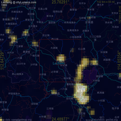
» NASA, Earths city lights 1995
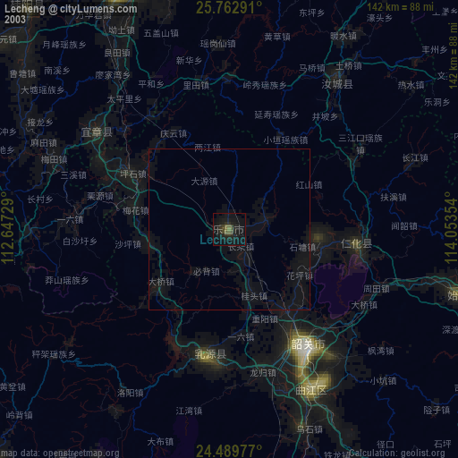
» NASA city lights 2003
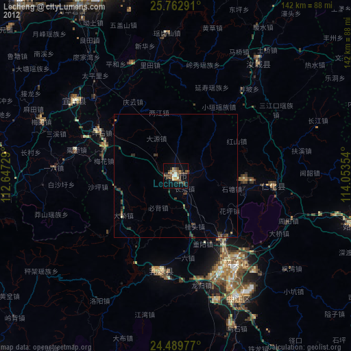
» Earth at Night: Flat Maps 2012, 2016