Babu night lights from space
Night Light of Babu (Guangxi) from space (China) Src. Average luminocity for 10x10km area is 41.8988% and for 50x50km: 4.2215%.
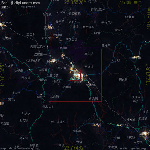
Analysis of Babu night lights 2016
Square area 10x10 km:
 5.56%
5.56%90-99
4.37%80-89
7.14%70-79
4.56%60-69
8.93%50-59
6.94%40-49
8.13%30-39
7.74%20-29
10.32%10-19
27.98%0-9
8.33%Square area 50x50 km:
0.47%90-99
0.4%80-89
0.62%70-79
0.36%60-69
0.67%50-59
0.73%40-49
0.67%30-39
0.67%20-29
0.83%10-19
3.45%0-9
91.13%Clear (daylight) street map image can be seen on geolist.org.
Map coordinates:
25° 3' 19" North, 110° 48' 48.8" East
24° 25' 0" North, 111° 31' 0" East
23° 46' 29.4" North, 112° 13' 11.3" East
Some cities around Babu sort by population:
• Yangshuo
111.4 km =69.2 mi,  291°
291°
• Wuzhou
105.7 km =65.7 mi,  191°
191°
• Ducheng
130.6 km =81.2 mi,  179°
179°
• Lianzhou
95.5 km =59.3 mi,  64°
64°
• Huaicheng
86.8 km =53.9 mi,  129°
129°
• Nanfeng
81.8 km =50.8 mi,  159°
159°
• Pingnan
150.2 km =93.3 mi,  229°
229°
• Jinji
149.7 km =93 mi,  207°
207°
1817858 (p: 65,603)
Sources (retrieved 2019-11-25):
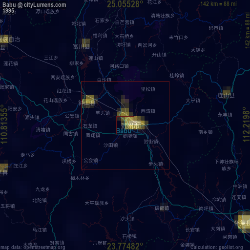
» NASA, Earths city lights 1995
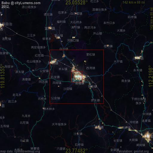
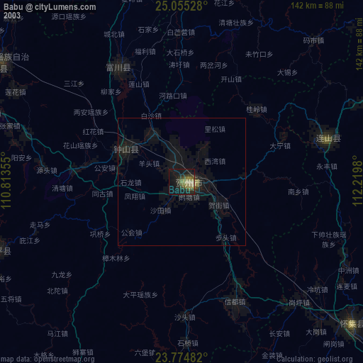
» NASA city lights 2003
» Earth at Night: Flat Maps 2012, 2016