Korla night lights from space
Night Light of Korla (Xinjiang) from space (China) Src. Average luminocity for 10x10km area is 63.9107% and for 50x50km: 7.9435%.
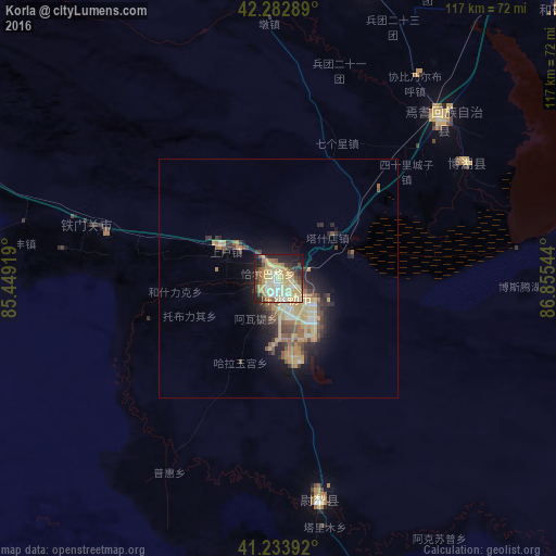

Analysis of Korla night lights 2016
Square area 10x10 km:
 2.76%
2.76%90-99
13.96%80-89
27.11%70-79
11.2%60-69
7.14%50-59
7.31%40-49
4.38%30-39
5.84%20-29
12.5%10-19
7.14%0-9
0.65%Square area 50x50 km:
0.17%90-99
1.06%80-89
2.16%70-79
1.63%60-69
0.98%50-59
1.24%40-49
0.98%30-39
1.41%20-29
2.01%10-19
4.06%0-9
84.3%Clear (daylight) street map image can be seen on geolist.org.
Map coordinates:
42° 16' 58.4" North, 85° 26' 57.1" East
41° 45' 38" North, 86° 9' 8.3" East
41° 14' 2.1" North, 86° 51' 19.6" East
Some cities around Korla sort by population:
• Ürümqi
255.8 km =158.9 mi,  27°
27°
• Shihezi
282.8 km =175.7 mi,  358°
358°
• Xinyuan
301.2 km =187.2 mi,  307°
307°
• Turpan
281.5 km =174.9 mi,  62°
62°
• Changji
266.9 km =165.8 mi,  20°
20°
• Kuqa
267.3 km =166.1 mi,  268°
268°
• Sishilichengzi
35 km =21.7 mi,  50°
50°
• Baluntaicun
101.9 km =63.3 mi,  7°
7°
1529376 (p: 179,465)
Sources (retrieved 2019-11-25):
» NASA, Earths city lights 1995
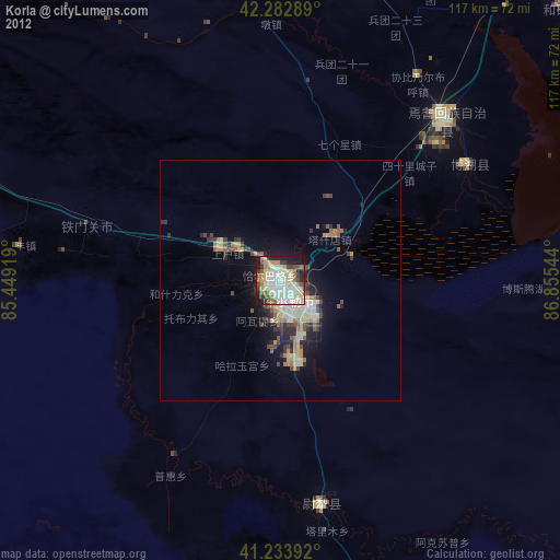
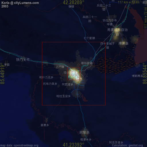
» NASA city lights 2003
» Earth at Night: Flat Maps 2012, 2016