Uzgen night lights from space
Night Light of Uzgen (Osh) from space (Kyrgyzstan) Src. Average luminocity for 10x10km area is 22.6672% and for 50x50km: 2.7179%.
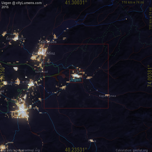
Analysis of Uzgen night lights 2016
Square area 10x10 km:
 4.06%
4.06%90-99
4.22%80-89
0.16%70-79
1.79%60-69
3.41%50-59
3.73%40-49
1.62%30-39
5.03%20-29
1.95%10-19
25.97%0-9
48.05%Square area 50x50 km:
0.23%90-99
0.28%80-89
0.08%70-79
0.21%60-69
0.55%50-59
0.45%40-49
0.37%30-39
0.63%20-29
0.97%10-19
2.39%0-9
93.85%Clear (daylight) street map image can be seen on geolist.org.
Map coordinates:
41° 18' 1.1" North, 72° 35' 51.2" East
40° 46' 11.8" North, 73° 18' 2.4" East
40° 14' 7.1" North, 74° 0' 13.7" East
Some cities around Uzgen sort by population:
• Osh
50.2 km =31.2 mi,  237°
237°
• Jalal-Abad
31.1 km =19.3 mi,  305°
305°
• Bazar-Korgon
55.3 km =34.4 mi,  302°
302°
• Qo‘rg‘ontepa, UZ
45.6 km =28.3 mi,  264°
264°
• Kara Suu
37.3 km =23.2 mi, 258°
• Xo‘jaobod, UZ
63.4 km =39.4 mi, 259°
• Kochkor-Ata
74.8 km =46.5 mi,  293°
293°
• Nookat
80.4 km =50 mi,  225°
225°
1527513 (p: 40,360)
Sources (retrieved 2019-11-25):
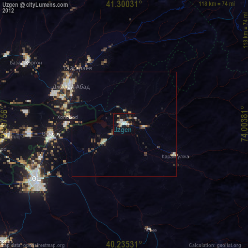
» Earth at Night: Flat Maps 2012, 2016