Hoxtolgay night lights from space
Night Light of Hoxtolgay (Xinjiang) from space (China) Src. Average luminocity for 10x10km area is 1.669% and for 50x50km: 0.069%.
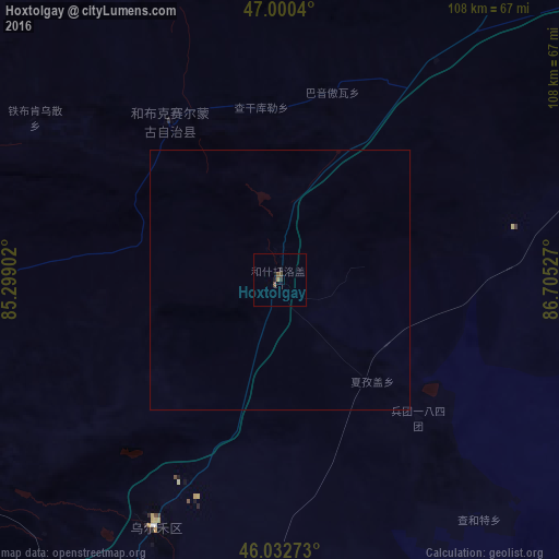
Analysis of Hoxtolgay night lights 2016
Square area 10x10 km:
 0%
0%90-99
0%80-89
0%70-79
0%60-69
0.57%50-59
0.57%40-49
0.99%30-39
0.71%20-29
0.57%10-19
0.57%0-9
96.02%Square area 50x50 km:
0%90-99
0%80-89
0%70-79
0%60-69
0.02%50-59
0.02%40-49
0.04%30-39
0.03%20-29
0.02%10-19
0.02%0-9
99.84%Clear (daylight) street map image can be seen on geolist.org.
Map coordinates:
47° 0' 1.4" North, 85° 17' 56.5" East
46° 31' 7.4" North, 86° 0' 7.7" East
46° 1' 57.8" North, 86° 42' 19" East
Some cities around Hoxtolgay sort by population:
• Shihezi
246.5 km =153.2 mi,  179°
179°
• Karamay
134.9 km =83.8 mi,  219°
219°
• Changji
297.2 km =184.7 mi,  159°
159°
• Altay
218.6 km =135.8 mi,  47°
47°
• Baijiantan
113.4 km =70.5 mi, 215°
• Zaysan, KZ
135.9 km =84.4 mi,  320°
320°
• Kurchum, KZ
287.5 km =178.6 mi, 322°
• Tūghyl, KZ
190.9 km =118.6 mi,  314°
314°
1529452 (p: 22,000)
Sources (retrieved 2019-11-25):
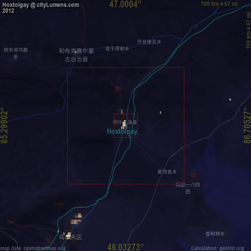
» Earth at Night: Flat Maps 2012, 2016