Zaysan night lights from space
Night Light of Zaysan (East Kazakhstan) from space (Kazakhstan) Src. Average luminocity for 10x10km area is 0.473% and for 50x50km: 0.0303%.
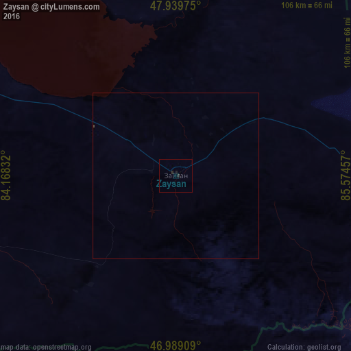
Analysis of Zaysan night lights 2016
Square area 10x10 km:
 0%
0%90-99
0%80-89
0%70-79
0%60-69
0%50-59
0%40-49
0%30-39
0%20-29
1.56%10-19
0.14%0-9
98.3%Square area 50x50 km:
0%90-99
0%80-89
0%70-79
0%60-69
0%50-59
0%40-49
0.02%30-39
0%20-29
0.06%10-19
0.01%0-9
99.91%Clear (daylight) street map image can be seen on geolist.org.
Map coordinates:
47° 56' 23.1" North, 84° 10' 6" East
47° 27' 59.7" North, 84° 52' 17.2" East
46° 59' 20.7" North, 85° 34' 28.5" East
Some cities around Zaysan sort by population:
• Karamay, CN
209.2 km =130 mi,  179°
179°
• Altay, CN
248 km =154.1 mi,  80°
80°
• Baijiantan, CN
198.3 km =123.2 mi,  174°
174°
• Hoxtolgay, CN
135.9 km =84.4 mi,  140°
140°
• Kurchum
151.8 km =94.3 mi,  323°
323°
• Aksuat
164 km =101.9 mi,  327°
327°
• Tūghyl
57.6 km =35.8 mi,  299°
299°
• Kokpekty
232.4 km =144.4 mi,  307°
307°
1517060 (p: 17,600)
Sources (retrieved 2019-11-25):
» Earth at Night: Flat Maps 2012, 2016