Tūghyl night lights from space
Night Light of Tūghyl (East Kazakhstan) from space (Kazakhstan) Src. Average luminocity for 10x10km area is 0% and for 50x50km: 0.0051%.
Analysis of Tūghyl night lights 2016
Square area 10x10 km:
 0%
0%90-99
0%80-89
0%70-79
0%60-69
0%50-59
0%40-49
0%30-39
0%20-29
0%10-19
0%0-9
100%Square area 50x50 km:
0%90-99
0%80-89
0%70-79
0%60-69
0%50-59
0%40-49
0.01%30-39
0%20-29
0%10-19
0%0-9
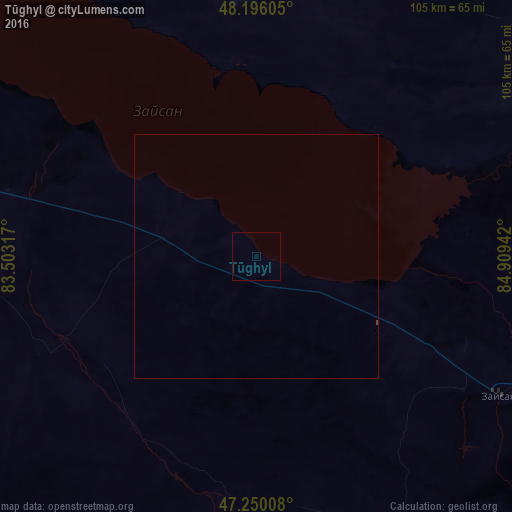
99.99%Clear (daylight) street map image can be seen on geolist.org.
Map coordinates:
48° 11' 45.8" North, 83° 30' 11.4" East
47° 43' 30.8" North, 84° 12' 22.6" East
47° 15' 0.3" North, 84° 54' 33.9" East
Some cities around Tūghyl sort by population:
• Hoxtolgay, CN
190.9 km =118.6 mi,  134°
134°
• Zaysan
57.6 km =35.8 mi,  119°
119°
• Urzhar
206.2 km =128.1 mi,  250°
250°
• Kurchum
101.9 km =63.3 mi,  336°
336°
• Aksuat
116.4 km =72.3 mi, 341°
• Zhanga Buqtyrma
217.6 km =135.2 mi,  346°
346°
• Asūbulaq
220.3 km =136.9 mi, 337°
• Kokpekty
175.7 km =109.2 mi,  310°
310°
1520025 (p: 6,696)
Sources (retrieved 2019-11-25):
» Earth at Night: Flat Maps 2012, 2016