Sakchu-ŭp night lights from space
Night Light of Sakchu-ŭp (P'yŏngan-bukto) from space (North Korea) Src. Average luminocity for 10x10km area is 0% and for 50x50km: 0.0092%.
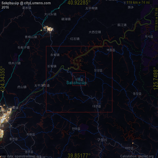
Analysis of Sakchu-ŭp night lights 2016
Square area 10x10 km:
 0%
0%90-99
0%80-89
0%70-79
0%60-69
0%50-59
0%40-49
0%30-39
0%20-29
0%10-19
0%0-9
100%Square area 50x50 km:
0%90-99
0%80-89
0%70-79
0%60-69
0%50-59
0%40-49
0%30-39
0.03%20-29
0%10-19
0%0-9
99.97%Clear (daylight) street map image can be seen on geolist.org.
Map coordinates:
40° 55' 22.3" North, 124° 20' 36.8" East
40° 23' 22" North, 125° 2' 48" East
39° 51' 6.4" North, 125° 44' 59.3" East
Some cities around Sakchu-ŭp sort by population:
• Dandong, CN
62.4 km =38.8 mi,  242°
242°
• Sinŭiju
63.7 km =39.6 mi, 239°
• Kuandian, CN
43.7 km =27.2 mi,  329°
329°
• Ŭiju
48.5 km =30.1 mi, 244°
• Kusŏng
48.4 km =30.1 mi,  159°
159°
• Pukchil-lodongjagu
63.1 km =39.2 mi,  109°
109°
• Panghyŏn-dong
58.2 km =36.2 mi, 163°
• Yŏmju-ŭp
67.1 km =41.7 mi,  214°
214°
2041533 (p: 18,001)
Sources (retrieved 2019-11-25):
» Earth at Night: Flat Maps 2012, 2016