Kuandian night lights from space
Night Light of Kuandian (Liaoning) from space (China) Src. Average luminocity for 10x10km area is 14.086% and for 50x50km: 0.6286%.
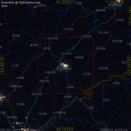
Analysis of Kuandian night lights 2016
Square area 10x10 km:
 0%
0%90-99
1.3%80-89
2.76%70-79
2.6%60-69
2.6%50-59
2.11%40-49
1.62%30-39
3.9%20-29
1.95%10-19
3.41%0-9
77.76%Square area 50x50 km:
0%90-99
0.05%80-89
0.11%70-79
0.13%60-69
0.1%50-59
0.08%40-49
0.07%30-39
0.18%20-29
0.08%10-19
0.16%0-9
99.03%Clear (daylight) street map image can be seen on geolist.org.
Map coordinates:
41° 15' 33.5" North, 124° 4' 53.8" East
40° 43' 43" North, 124° 47' 5" East
40° 11' 37.1" North, 125° 29' 16.3" East
Some cities around Kuandian sort by population:
• Dandong
74.4 km =46.2 mi,  206°
206°
• Sinŭiju, KP
77.1 km =47.9 mi, 205°
• Fengcheng
67.5 km =41.9 mi,  243°
243°
• Xiaoshi
84.2 km =52.3 mi,  318°
318°
• Huanren
77.1 km =47.9 mi,  39°
39°
• Langtoucun
85.4 km =53.1 mi, 206°
• Ŭiju, KP
62.6 km =38.9 mi,  199°
199°
• Sakchu-ŭp, KP
43.7 km =27.2 mi,  149°
149°
2036283 (p: 70,867)
Sources (retrieved 2019-11-25):
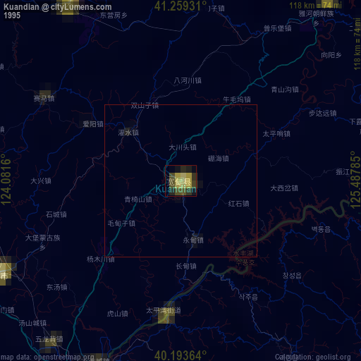
» NASA, Earths city lights 1995
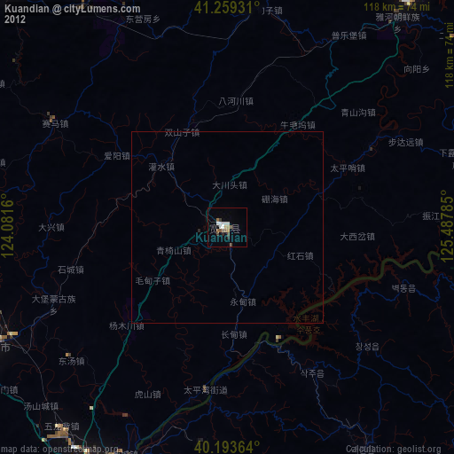
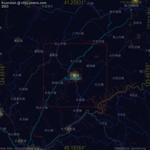
» NASA city lights 2003
» Earth at Night: Flat Maps 2012, 2016