Honggang night lights from space
Night Light of Honggang (Heilongjiang) from space (China) Src. Average luminocity for 10x10km area is 30.4122% and for 50x50km: 17.4664%.
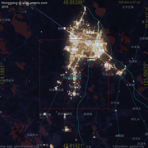
Analysis of Honggang night lights 2016
Square area 10x10 km:
 0.74%
0.74%90-99
7.74%80-89
3.42%70-79
1.64%60-69
2.08%50-59
5.95%40-49
3.87%30-39
8.18%20-29
10.71%10-19
39.88%0-9
15.77%Square area 50x50 km:
2.86%90-99
4.18%80-89
1.72%70-79
2.06%60-69
2.66%50-59
3.18%40-49
2.06%30-39
2.4%20-29
3.65%10-19
6.76%0-9
68.47%Clear (daylight) street map image can be seen on geolist.org.
Map coordinates:
46° 53' 2.3" North, 124° 10' 48.4" East
46° 24' 4.5" North, 124° 52' 59.6" East
45° 54' 51.2" North, 125° 35' 10.9" East
Some cities around Honggang sort by population:
• Fendou
26.8 km =16.7 mi,  356°
356°
• Daqing
22.1 km =13.7 mi,  23°
23°
• Anda
33.1 km =20.6 mi,  89°
89°
• Zhaodong
92.3 km =57.4 mi,  113°
113°
• Longfeng
22.3 km =13.9 mi,  49°
49°
• Qinggang
98.7 km =61.3 mi,  71°
71°
• Zhaozhou
86.6 km =53.8 mi,  157°
157°
• Taikang
61.3 km =38.1 mi,  326°
326°
2036876 (p: 147,977)
Sources (retrieved 2019-11-25):
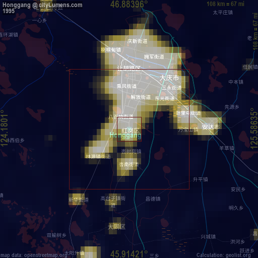
» NASA, Earths city lights 1995
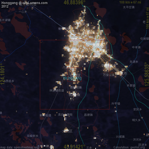
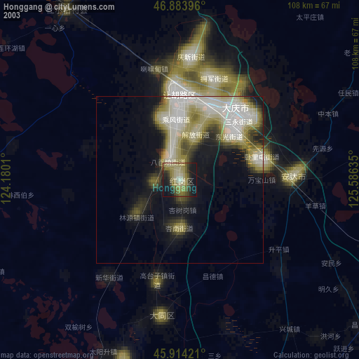
» NASA city lights 2003
» Earth at Night: Flat Maps 2012, 2016