Daqing night lights from space
Night Light of Daqing (Heilongjiang) from space (China) Src. Average luminocity for 10x10km area is 71.0682% and for 50x50km: 24.6943%.
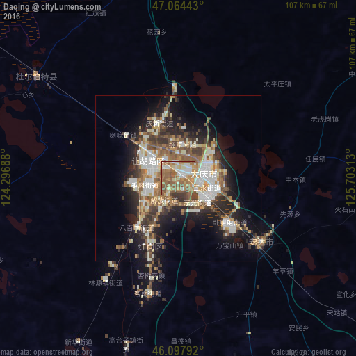
Analysis of Daqing night lights 2016
Square area 10x10 km:
 9.23%
9.23%90-99
13.64%80-89
10.8%70-79
10.94%60-69
23.44%50-59
24.15%40-49
5.97%30-39
1.85%20-29
0%10-19
0%0-9
0%Square area 50x50 km:
3.49%90-99
5.63%80-89
2.39%70-79
2.95%60-69
3.61%50-59
4.82%40-49
3.55%30-39
3.82%20-29
5.9%10-19
10.94%0-9
52.89%Clear (daylight) street map image can be seen on geolist.org.
Map coordinates:
47° 3' 51.9" North, 124° 17' 48.8" East
46° 34' 60" North, 125° 0' 0" East
46° 5' 52.5" North, 125° 42' 11.3" East
Some cities around Daqing sort by population:
• Fendou
12.3 km =7.6 mi,  301°
301°
• Anda
31.4 km =19.5 mi,  129°
129°
• Zhaodong
94.8 km =58.9 mi, 127°
• Longfeng
9.8 km =6.1 mi, 125°
• Honggang
22.1 km =13.7 mi,  203°
203°
• Qinggang
85.2 km =52.9 mi,  82°
82°
• Mingshui
95.4 km =59.3 mi,  45°
45°
• Taikang
52.6 km =32.7 mi,  306°
306°
2037860 (p: 203,488)
Sources (retrieved 2019-11-25):
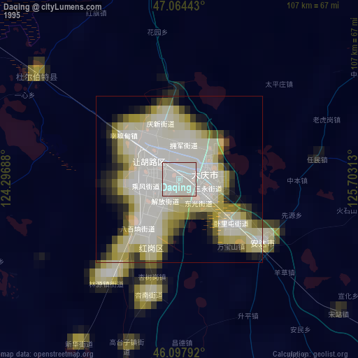
» NASA, Earths city lights 1995
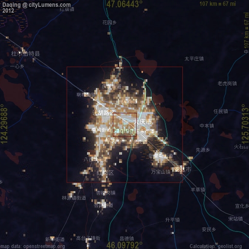
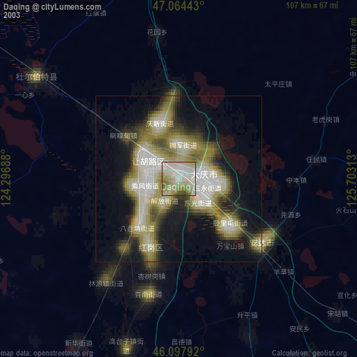
» NASA city lights 2003
» Earth at Night: Flat Maps 2012, 2016